Αμερική, Χάρτης - Βόρεια Αμερική / Καναδάς / Χάρτης του νησιού της Νέας Γης; D. Veremondo Rossi / Marco Coltellini - Nuova, e corretta Carta dell Isola di Terra Nuova - 1761-1780
Αρ. 84063623

Αρ. 84063623
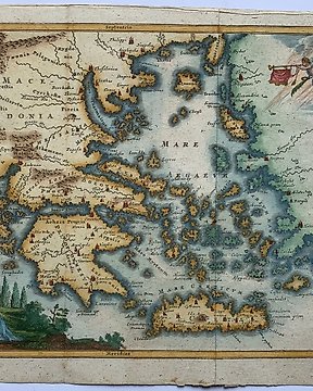
”Carta Esatta Rappresentante L’Isola della Guadalupa”
This hand-coloured map is from the Marco Coltellini’s ”ll Gazzettiere americano contenente un distinto ragguaglio di tutte le parti del Nuovo Mondo della loro situazione, clima, terreno, prodotti, stato antico e moderno, merci...”, italian edition. The work was published in Livorno, 1763.
Marco Coltellini was an Italian author and editor known for his work on geographical and descriptive publications. He played a significant role in compiling and editing "Il Gazzettiere Americano," a detailed account of various parts of the New World. Coltellini's contributions to geographical literature provided valuable insights into the regions, climates, terrains, and products of the Americas during his time
Artist
Andrea Scacciati
Medium
Hand-coloured engraving
Size
40 cm x 30 cm
Date
1763
Condition Report
This work is in very good to excellent condition overall. Please review the images carefully for condition and contact us with any questions.
This item is professionally protected by handmade packing.
The Certificate of Authenticity is included.
Πώς να πραγματοποιήσετε αγορές στην Catawiki
1. Ανακαλύψτε κάτι ιδιαίτερο
2. Υποβάλετε την κορυφαία προσφορά
3. Πληρώστε με ασφάλεια