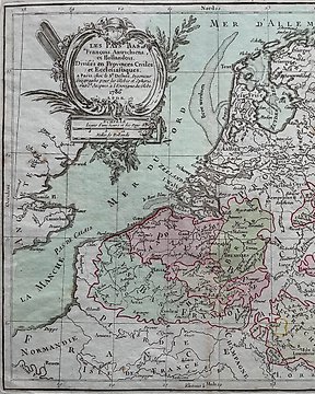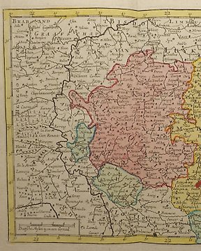
Europa, Mappa - Lussemburgo; J.B. Elwe / D.M. Langeveld - Kaartje Van T Hertogdom Luxemburg - 1786
N. 83596457

N. 83596457
Old, antique bird’s-eye view plan of Oostende (Belgium) by Raspischen Handlung in frame.
Date of this map: 1770.
Frame: 45,5 cm x 30 cm
Engraving: 38 cm x 24 cm
In very good condition.
Shipping with track and trace.Of course very carefully and safe packaged.Item can be picked up in Ekeren (Antwerpen,Belgium).
Come fare acquisti su Catawiki
1. Scopri oggetti speciali
2. Fai l’offerta più alta
3. Paga in tutta sicurezza