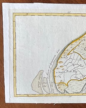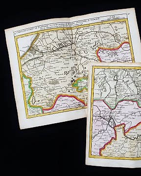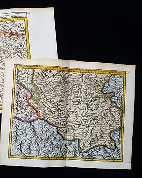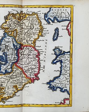
Europa, Kaart - Ierland / Dublin / Cork / Belfast / Galway; R. de Vaugondy / M. Robert - Isle et Royaume d'Irlande - 1721-1750
Nr. 81477137
Nr. 81477137
Dimensions: 16 x 19.5 cm. (on sheet: 21.5 x 27.5 cm.).
Condition: very good (minor foxing)
Verso: blank.
Light blue paper
Mapmaker: Robert De Vaugondy
Publisher: Durand and Pissot. Paris.
Note: from "Atlas portatif Universel"
Gilles Robert de Vaugondy (1688–1766), also known as Le Sieur or Monsieur Robert, and his son, Didier Robert de Vaugondy (c.1723–1786), were leading cartographers in France during the 18th century. Gilles got his start when he jointly inherited the shop of Pierre-Moullart Sanson, grandson of the famous geographer Nicholas Sanson. The inheritance included the business, its stock of plates, and a roller press. In 1760 Gilles became geographer to King Louis XV. His son, Didier Robert de Vaugondy, was also a geographer and the two worked together.
Zo koop je op Catawiki
1. Ontdek iets bijzonders
2. Plaats het hoogste bod
3. Veilig betalen