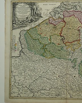
Europa, Kaart - Belgium / Luxemburg / Luik; J.B. Homann - Arena Martis in Belgio qua Provinciae - 1701-1720
Nr. 81942861

Nr. 81942861
38 x 47,5 cm.
A map of the siege of Turin carried on by Philippe Charles, duc d'Orléans (1674-1723) and Louis d'Aubusson de la Feuillade, duc de Roannais (1673-1725), from 14 May to 7 September 1706 when Turin was relieved on 7 September by troops of the Imperial army commanded by Prince Eugene of Savoy (1663-1736). War of the Spanish Succession (1701-14). Oriented with north-north-east to top.
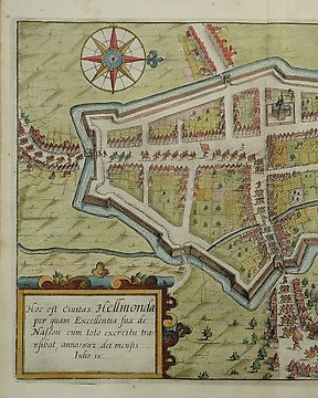
A copy of this map is one of thirty town plans by Baillieu with military details which form an untitled collection in eighteenth-century binding in the British Library, Maps 144.c.41.
Folds as published. Closed tear to the right on the fold, not affecting the image, strenghtened on verso.
Insured shipping
Zo koop je op Catawiki
1. Ontdek iets bijzonders
2. Plaats het hoogste bod
3. Veilig betalen