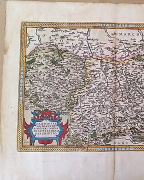
Europa, Kaart - Duitsland / Saksen; Abraham Ortelius - Saxoniae, Misniae, Thuringiae, Nova Exactissima Descriptio - 1561-1580
Nr. 82324019
Nr. 82324019
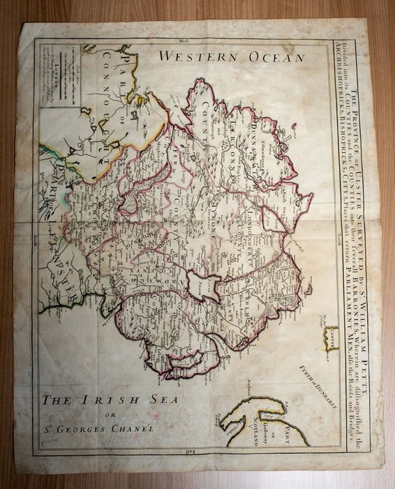
This map of Ulster (present-day Northern Ireland), published in London in 1689, is based on the Down Survey of Ireland undertaken in 1656--58. As indicated in the subtitle, the map shows the counties and baronies of the province, archbishoprics, cities, roads and bridges, and the distribution of seats in parliament. Relief is shown pictorially. The map has two distance scales, Irish miles and English miles. The Down Survey was the first detailed land survey on a national scale anywhere in the world. Its purpose was to measure lands which, following the calamitous English Civil War, much of which was fought on Irish soil, were to be taken from Irish Catholic landowners and given to English Protestants, many of whom were soldiers who had fought in the war under Oliver Cromwell (1599--1658). The survey was led by Sir William Petty (1623--87), a surgeon-general in the English army. The son of a poor weaver in Hampshire, Petty worked as a cabin boy, hawker, seaman, and clothier, before rising to become a physician, professor of anatomy at Oxford, professor of music in London, inventor, landowner, and Member of Parliament. He wrote several books, including A Treatise of Taxes and Contributions (1662), Political Survey or Anatomy of Ireland (1672), and Five Essays in Political Arithmetick (1687), in which, drawing in part on his work with the land survey, he arrived at profoundly original conclusions about labor, employment, wages, rents, the price of land, and money. For these insights he was called, by Karl Marx and others, the "father of political economy." By gathering detailed statistics on prices, production, and other economic variables, Petty also pioneered the use of empiricism in economics. Because all of its results were "set down" in maps, Petty referred to the survey of Ireland as the Down Survey.
Please have a look the pictures to get your own impression.
Will be shipped fully insured and registered post.
Zo koop je op Catawiki
1. Ontdek iets bijzonders
2. Plaats het hoogste bod
3. Veilig betalen