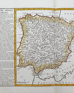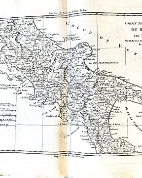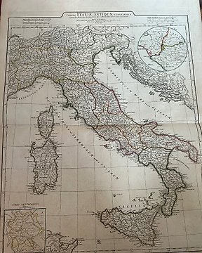
Europa, Kart - Italia; Jean Baptiste Bourguignon d'Anville - Tabula Italiae antiquae geographica : quam excellentissimus dominus Dex de la Rochefoucauld in oere - 1761-1780
Nr. 43799893
Nr. 43799893
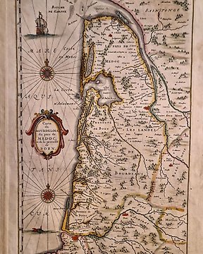
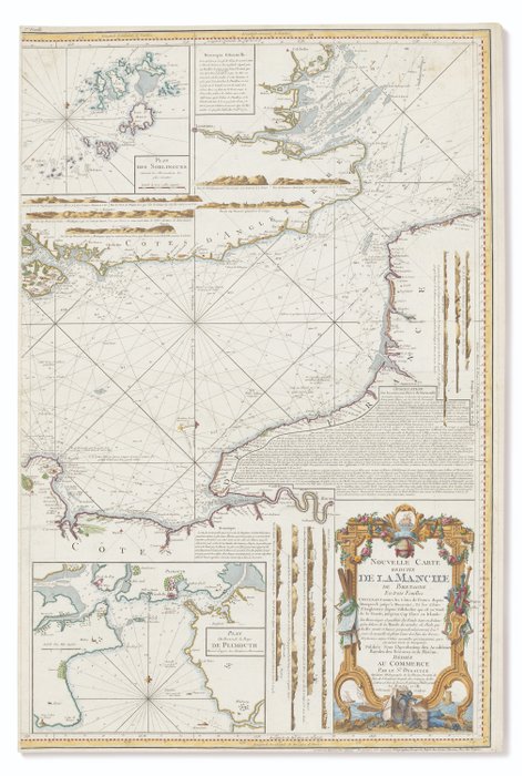
DEGAULLE, J.B. (1732-1810). Nouvelle carte reduite de La Manche de Bretagne en trois feuilles. Le Havre: chés [sic] l'auteur; Paris, J. Dezauche, 1778.
Very large, separately published chart, on 3 sheets, beautifully hand-coloured by a contemporary hand. Although ostensibly showing the English Channel, a large area is given over to the Atlantic western approaches, and the south-eastern coastline of Ireland is shown.
Very large engraved chart on 3 double-page sheets, coloured in outline by a contemporary hand, large insets of the Isles of Scilly, Plymouth Sound, and a number of coastal profiles, further coastal profiles filling areas of southern England and northern France, title within ornate decorative border, rhumb lines, soundings and shoals, numbered top left, each sheet 932 x 620mm.
Hvordan kjøpe på Catawiki
1. Oppdag noe spesielt
2. Legg inn det høyeste budet
3. Å gjøre en sikker betaling