Ásia, Mapa - China / Pequim / Japão / Coreia / Tartária; CLOUET, Jean Baptiste - De l'Empire de la Chine - 1761-1780
N.º 78204875

N.º 78204875
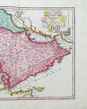
A New & Accurate Map of Asia drawn from the most approved Modern Maps & Charts by Tho.s Bowen 1779
Detailed map of Asia from Saudi Arabia, Persia, Russia, India, China, Japan to Southeast Asia showing Australia as New Holland.
The map is of interest for the use of Sea of Korea, the sea between Korea and Japan. It also shows Tasmania still connected to mainland Australia, and a strangely shaped New Guinea.
Hand colored copper engraving published in 1779 in London in ´ A New and Complete System of Geography containing a full accurate, authentic and interesting account and description of Europe, Asia, Africa and America etc. by Charles Theodore Middleton printed fo J.Cooke Pater-noster Row, London.
Image 31,5x41cm, page 36x47cm
Como comprar na Catawiki
1. Descubra algo especial
2. Faça a licitação vencedora
3. Faça um pagamento seguro