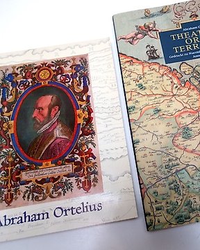
Os Países Baixos, Atlas - Holanda, Bélgica, Luxemburgo; Caspar Merian - Topographia Germaniae-Inferioris - 1621-1650
N.º 81020377

N.º 81020377
1-Atlas of Columbus and The Great Discoveries - Kenneth Nebenzahl - Chicago/New York, Rand Mc.Nally, 1990 - 168 pp - hardback (linen) with dust jacket - 37,5 x 29 cm.
Condition: very good (with small ex-libris on blank fore-page).
From a wealth of manuscript maps, portolan sea charts, woodcuts and copperplate engravings, the author selected the most significant materials of the period. There are over 100 illustrations depicting maps by Ptolomy, Pizzigano, Martellus, Columbus, de La Cosa, Contarini, Waldseemüller, Re'is, Cortes, Vespucci, Münster, Cabot, Homem, Mercator, Hondius, Boazio and Wright, as well as many other famous mapmakers of the time.
Fifty maps are shown in their entirely, usually as two full pages, on high quality paper.
2- America. Early Maps of the New World - editor: Hans Wolff - Munich, Prestel, 1992 - 192 pp - hardback (linen) with dust jacket, in original dust case - 28,5 x 29,5 cm.
Mint condition.
(total: 2
weight: 4,2 kg).
Como comprar na Catawiki
1. Descubra algo especial
2. Faça a licitação vencedora
3. Faça um pagamento seguro