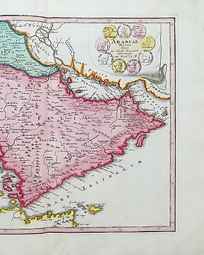
Mapa mundial, Mapa - Europa, Ásia, África, Austrália; C. Weigel - Orbis terrarum - 1720
N.º 81068797

N.º 81068797
Designatio Orbis Christiani (1613)
Excellent early worldmap, based upon early maps by Mercator and Hondius. This is one of the first thematic maps, and it is the second world map in the Mercator-Hondius Atlas Minor. It is on a planispherical projection and uses symbols (identified in the key at bottom) to designate those areas of the world that are Christian (cross), Muslim (crescent), and idolaters (arrow). Latin text on verso. It shows most of the world, excluding the west coast of North America. In Asia, Korea is shown as an island. The Nile rises from twin lakes in southern Africa. There is a huge southern continent that incorporates the landmass of Australia.
This is the 1613 version of the Atlas Minor, published by Janssonius (Jansson).
Ref: Shirley #260
Excellent condition
Image 13x18,5cm, page 18x22cm
Como comprar na Catawiki
1. Descubra algo especial
2. Faça a licitação vencedora
3. Faça um pagamento seguro