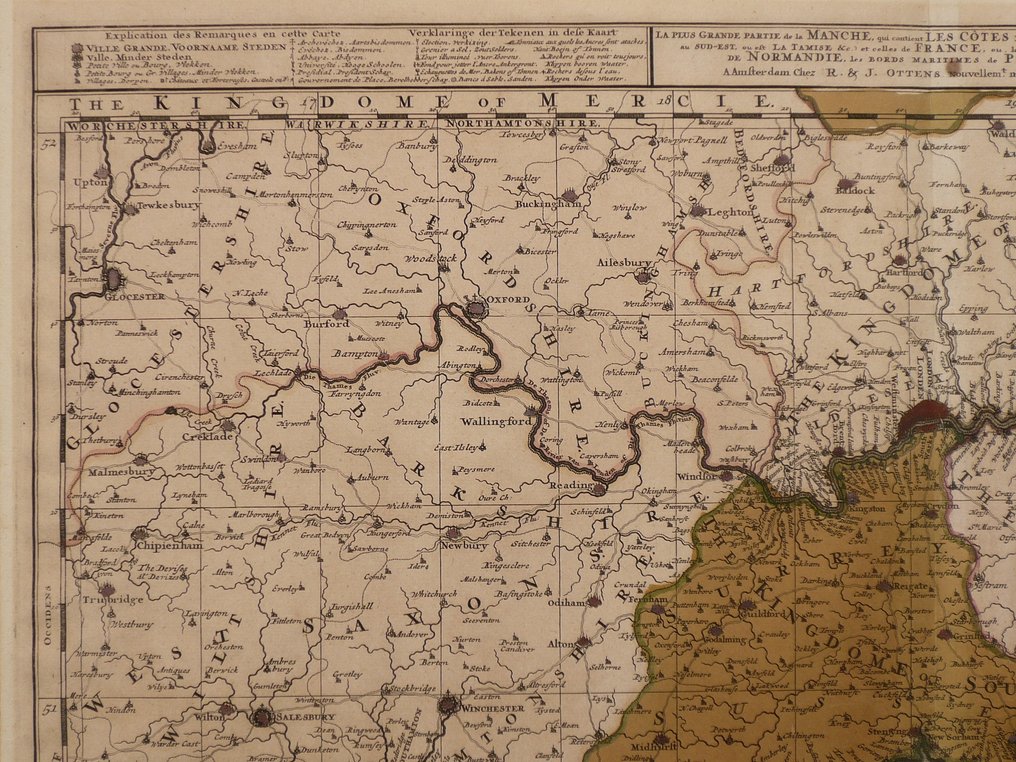
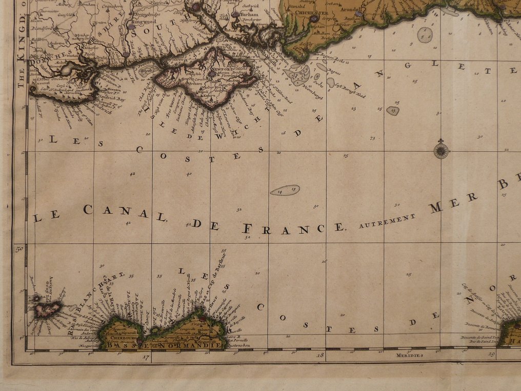
歐洲 - Channel / Normandy / Kent / Isle of Wight / La Manche; R. en J. Ottens - La plus grande partie de la Manche (...) - 1701-1720

13
15
小時
16
分鐘
08
開始競投
€ 1
沒有保留價
Ilaria Colombo
專家
由Ilaria Colombo精選

自1999年起專注於古書及神學爭議研究的專家。

估價  € 200 - € 250
沒有出價記錄

Catawiki買家保障

在您收到物品前,我們會妥善保管您的付款。查看詳情

Trustpilot評分 4.4 | 123113 則評論

Trustpilot獲得極佳評等。

由 R. en J. Ottens 發行的 La plus grande partie de la Manche,銅版雕刻並伴有當代手工著色,於約 1720 年在阿姆斯敦出版,屬 Atlas Factice 系列;尺寸 50 x 60 cm,狀況優良。

AI輔助摘要

賣家描述

50 x 60 厘米。
铜版画,刊于 R. en J. Ottens 的《Atlas Factice》。约于1720年在阿姆斯特丹出版。

刊登的封面插页。旧彩色。

保险运输

50 x 60 厘米。
铜版画,刊于 R. en J. Ottens 的《Atlas Factice》。约于1720年在阿姆斯特丹出版。

刊登的封面插页。旧彩色。

保险运输

詳細資料

時代
1400-1900
發行地
歐洲
地理規格
The Channel / Normandie / Kent / Isle of Wight / La Manche
地圖製作人/出版社
R. en J. Ottens
地圖/書籍標題
La plus grande partie de la Manche (...)
時段
1701-1720
狀態
極好
技術
銅雕刻
系列
Rare 18th century map. Old coloured.
地圖顏色
當代人手上色
Height
50 cm
Width
60 cm
賣家
荷蘭已驗證
24945
已售物品
100%
protop

類似物品

中的精彩好物

地圖