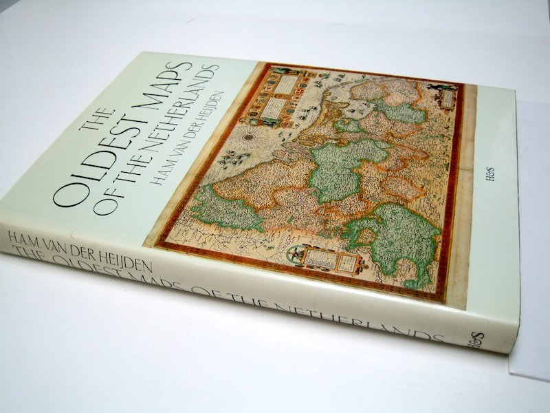
The Netherlands, Belgium and Luxembourg - 荷兰的十七省; H.A.M. van der Heijden - The Oldest Maps of the Netherlands - 1526-1599

04
06
小時
29
分鐘
39
目前出價
€ 5
沒有保留價
另有8人對此物品感興趣
nl競投者 9232 €5
nl競投者 3917 €4
nl競投者 1653 €1

Catawiki買家保障

在您收到物品前,我們會妥善保管您的付款。查看詳情

Trustpilot評分 4.4 | 122910 則評論

Trustpilot獲得極佳評等。

The Oldest Maps of the Netherlands 由 H.A.M. van der Heijden 著,烏特勒支 HES Publishers,1987,精裝帶護封,230 頁,尺寸 25 × 18 cm,英文,狀況極好。

AI輔助摘要

賣家描述

荷兰最古老的地图。16世纪荷兰十七省地图的插图与注释制图书目 - H.A.M. van der Heijden - 乌得勒支,HES 出版社,1987年 - 230页 - 精装带书衣 - 25 x 18厘米。语言:英语。

全新状态。

关于荷兰十七省最古老地图(1526-1599年)的地图书目。

总数:1

荷兰最古老的地图。16世纪荷兰十七省地图的插图与注释制图书目 - H.A.M. van der Heijden - 乌得勒支,HES 出版社,1987年 - 230页 - 精装带书衣 - 25 x 18厘米。语言:英语。

全新状态。

关于荷兰十七省最古老地图(1526-1599年)的地图书目。

总数:1

詳細資料

時代
1400-1900
Over 200 years old
不是
物品數量
1
發行地
The Netherlands, Belgium and Luxembourg
地理規格
The Netherlands of the XVII Provinces
地圖製作人/出版社
H.A.M. van der Heijden
地圖/書籍標題
The Oldest Maps of the Netherlands
時段
1526-1599
狀態
極好
技術
print
系列
With dust jacket
Height
25 cm
Width
18 cm
賣家
荷蘭已驗證
3955
已售物品
100%
私人top

類似物品

中的精彩好物

地圖