保加利亞 - 布尔加斯湾(Burgas); Pierre Lapie (1684–1743) - Plan du Golfe de Bourgas. Dessiné par P. Lapie, Ing.re Géog.phe. 1809. - 1801-1820
歐洲 - 米兰附近; Giovanni Battista Bordiga/la storica ditta milanese Pietro e Giuseppe Vallardi - VICINANZE DI MILANO E Viaggio ai Laghi Statistica" - 1801-1820
義大利 - 西西里, 撒丁岛, 普利亚, 坎帕尼亚, 意大利, 伦巴第, 威尼托; Adrien Brue - Carte Generale de l'Italie Moderne..... - 1801-1820
Mappamondo - 世界地图,陆地球面图,麦卡托投影; Adrien Brue - Mappemonde sur la Projection de Mercator, 1836 - 1801-1820
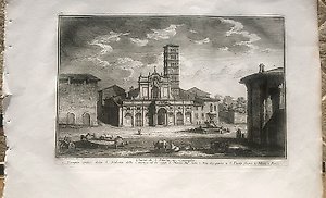
義大利 - 罗马 / 阿皮亚大道; Francesco Morelli - Veduta del Sepolcro di Cecilia Metella, detto Capo di Bove - 1801-1820
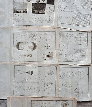
. - 星象盘; Jean Lattré (attivo tra il 1743 e il 1793) - Lot. of 3 maps "Mappe-Monde et Description du Globe Terrestre", "Sfera Armillare", "Éclipse de - 1801-1820
. - 双半球; Francesco Marmocchi (1805 /1858) e incisa da Stanislao Stucchi (1780 /1848) - "Mappa-Mondo in due Emisferi Colle più recenti Scoperte fatte sino all'anno 1820" - 1801-1820
英國 - 苏格兰 / 英格兰 / 威尔士; William Faden - A map of England, Wales & Scotland, describing all the Direct and principal cross roads in Great - 1801-1820
義大利 - 伦巴第大区/ 米兰 - Porta Romana..; Antonio Verico (1775–1822) - INGRESSO SOLENNE DELLE TRUPPE FRANCESI IN MILANO) Li 15. Maggio = 1796. - 1801-1820
義大利 - 拉齐奥 // 阿尔迪亚 / 拉维尼奥; Wilhelm Friedrich Gmelin (Germania, 1760 – Roma, 1820) - L'Arrivo degli Ambasciatori alla Città dei Latini (Eneide, Libro VII) - 1801-1820
荷蘭 - Aardenburg / Terneuse / Axel / Sas van Gent / Zeeuws Vlaanderen / Zeeland; Louis Capitaine - 11 Sas-de-Gand. - 1801-1820
Worl - 星象盘; Francesco Marmocchi (1805 /1858) e incisa da Giuseppe Caniani (1773 /1837) - Lot. of 2 maps "Mappa-Mondo ridotto" - 1801-1820
. - 星象盘; Francesco Marmocchi (1805 /1858) e incisa da Giuseppe Caniani (1773 /1837) - Lot. of 3 maps "Il Sistema Planetario", "Diagrammi Astronomici e Fasi Lunari", "Regioni Polari " - 1801-1820
北美 - 墨西哥,德克萨斯州; Bonne / Raynal - Le Nouveau Mexique avec la partie septentrionale de l'Alcien, ou de la Nouvelle Espagne - 1780
Wereld - 世界;尤其是荷兰(荷兰地区); Petrus Kaerius, Frederik de Wit, Carel Allard, Joan Blaeu, e.v.a. - Kunst in kaart. + Randfiguren uit de cartografie + Decorative printed maps - 1600-1800年