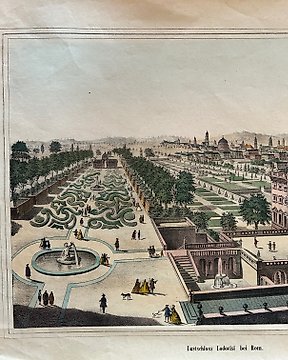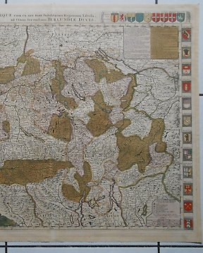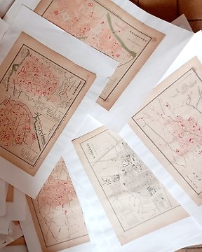
Europa, Plano urbano - Francia / Ciudades de Francia y Colonias; Fayard - Ensemble de 70 cartes couleurs. Fayard 1877, gravées par Hausermann - 1861-1880
N.º 82649245
N.º 82649245
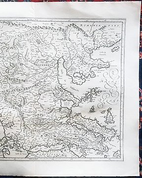
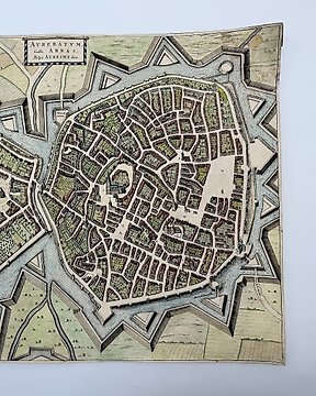
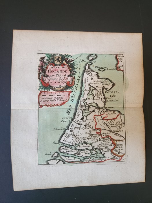
Duval - Map of part of the Netherlands or Holland
This fascinating map is from Pierre Duval. It was part of a composite or collector's atlas of his maps. It was done in Paris circa 1670s.
The composite atlas originally included maps from the following works: Les acquisitions de la France, Les Cartes des provinces eschûës a la Reine, Cartes … pour bien entendre les historiens, Les XII provinces, La géographie Françoise, Le monde ou la géographie universelle, Le monde chrestien
Pierre Duval (1618-1683) was a French geographer. He was the nephew and pupil of the geographer Nicolas Sanson. He later became Geographe Ordinaire du Roy to King Louis XIV.
The work is in very good to excellent condition overall. There may be a few minor imperfections to be expected with age. Please review the image carefully for condition and contact us with any questions.
~ 7 1/4" by 6 1/8"
Cómo comprar en Catawiki
1. Descubre algo especial
2. Haz la puja más alta
3. Paga de manera segura