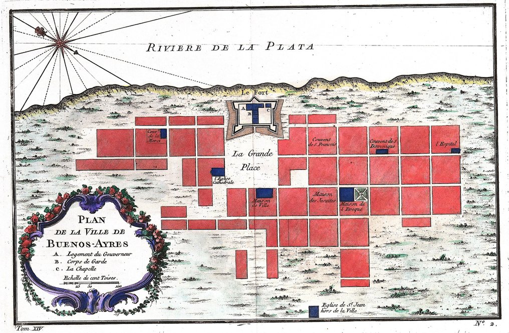
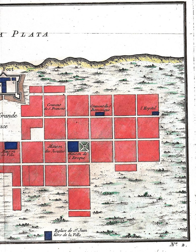
Argentina - Buenos Ayres; N. Bellin - Plan de la ville de Buenos Ayres - 1751-1760

02
giorni
00
ore
54
minuti
46
secondi
Offerta attuale
€ 16
Nessun prezzo di riserva
16 persone stanno guardando questo oggetto
frOfferente 4112 16 €
esOfferente 0042 11 €
esOfferente 0042 9 €

Tutela degli acquirenti Catawiki

Il tuo pagamento è al sicuro con noi finché non ricevi il tuo oggetto.Mostra dettagli

Trustpilot 4.4 | 123759 recensioni

Valutato Eccellente su Trustpilot.

Plan della città di Buenos Ayres, incisione in rame originale di N. Bellin, pubblicata da Didot a Parigi, raffigurante Buenos Ayres, Argentina, su lastra di 25,5 x 32 cm (area incisa 17,5 x 27,5 cm), condizione eccellente.

Riepilogo creato con l’aiuto dell’IA

Descrizione del venditore

Dimensions: 17,5 x 27.5 cm. (on sheet: 25.5 x 32 cm.).

Condition: very good
Verso: blank.

Author: Antoine Francois Prevost
Mapmaker: N. Bellin
Publisher: Didot. Paris.
Note: from "Histoire generale des Voyages ou nouvelle collection de toutes les relations de voyages"

Jacques-Nicolas Bellin (1703-1772) was among the most important mapmakers of the eighteenth century. In 1721, at only the age of 18, he was appointed Hydrographer to the French Navy. In August 1741, he became the first Ingénieur de la Marine of the Dépôt des cartes et plans de la Marine. Bellin set a very high standard of workmanship and accuracy, cementing France's leading role in European cartography and geography during this period. Many of his maps were copied by other mapmakers across the continent.

Dettagli

Epoca
1400-1900
Numero di articoli
1
Paese
Argentina
Specificazione geografica
Buenos Aires
Creatore mappa / Editore
N. Bellin
Titolo mappa / libro
Plan de la ville de Buenos Ayres
Periodo
1751-1760
Condizione
Eccellenti
Tecnica
Incisione in rame
Serie
Original antique copper engraving
Colore della mappa
Colorazione a mano successiva
Altezza
25,5 cm
Larghezza
32 cm
Venduto da
ItaliaVerificato
4458
Oggetti venduti
100%
protop

Oggetti simili

Per te in

Mappe