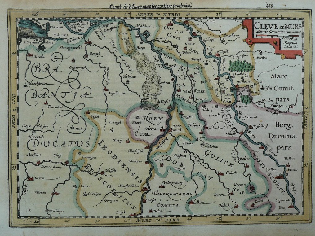
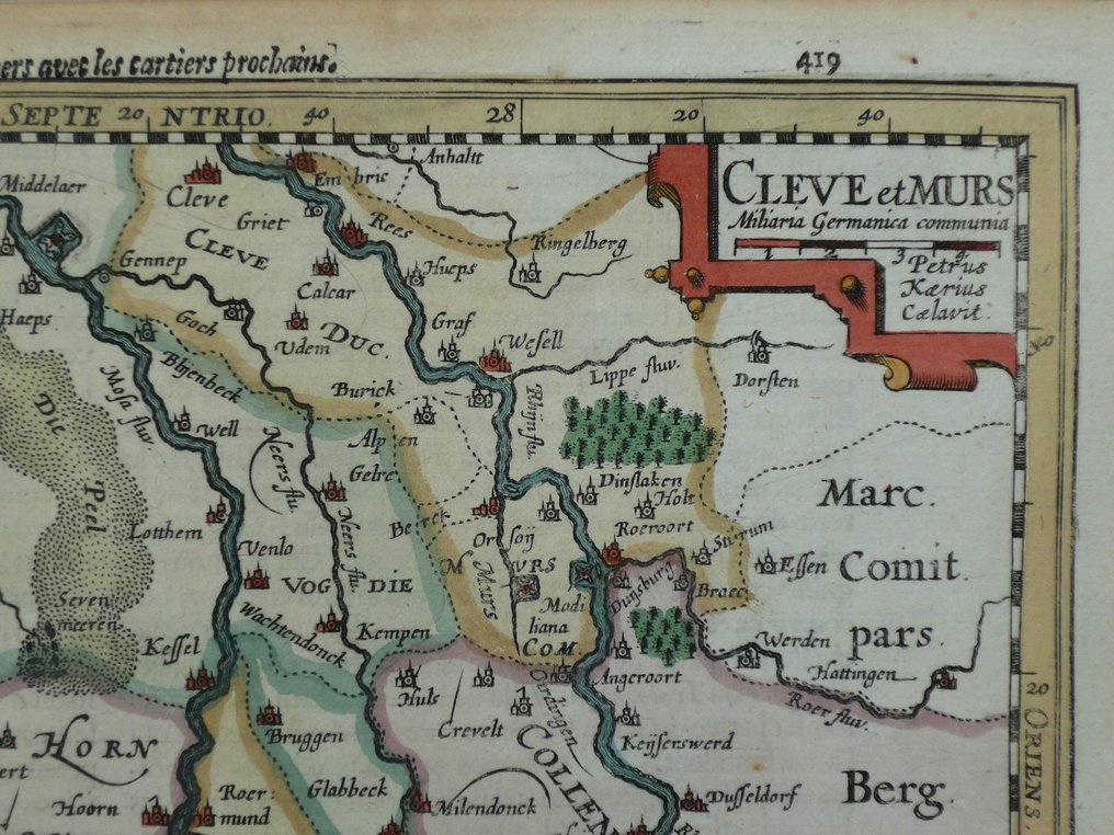
Netherlands - Limburg, Brabant, Maastricht, Roermond, Venlo, Eindhoven; Petrus Kaerius / J.E. Cloppenburg - Cleve et Murs - 1632

04
days
16
hours
21
minutes
02
seconds
Current bid
€ 1
No reserve price
13 other people are watching this object
nlBidder 6748 €1

Catawiki Buyer Protection

Your payment’s safe with us until you receive your object.View details

Trustpilot 4.4 | 122813 reviews

Rated Excellent on Trustpilot.

Cleve et Murs is a 1632 copper engraved map by Petrus Kaerius / J.E. Cloppenburg, depicting Limburg, Brabant, Maastricht, Roermond, Venlo and Eindhoven in the Nederland, sized 18.5 by 25.5 cm, hand coloured from the 17th century.

AI-assisted summary

Description from the seller

18.5 x 25.5 cm.
Copper engraving published in; 'G. Mercator's Atlas, newly corrected in many locations (...)' Published by J.E Cloppenburch in Amsterdam, 1632.

Insured shipping.

18.5 x 25.5 cm.
Copper engraving published in; 'G. Mercator's Atlas, newly corrected in many locations (...)' Published by J.E Cloppenburch in Amsterdam, 1632.

Insured shipping.

Details

Era
1400-1900
Over 200 years old
Yes
Country
Netherlands
Geographical specification
Limburg, Brabant, Maastricht, Roermond, Venlo, Eindhoven
Map maker/ publisher
Petrus Kaerius / J.E. Cloppenburg
Map/ Book title
Cleve et Murs
Period
1632
Condition
Excellent
Technique
Copper engraving
Additional Information
17th century map
Map colour
Contemporary hand colour
Height
18.5 cm
Width
25.5 cm
Sold by
The NetherlandsVerified
24926
Objects sold
100%
protop

Similar objects

For you in

Maps