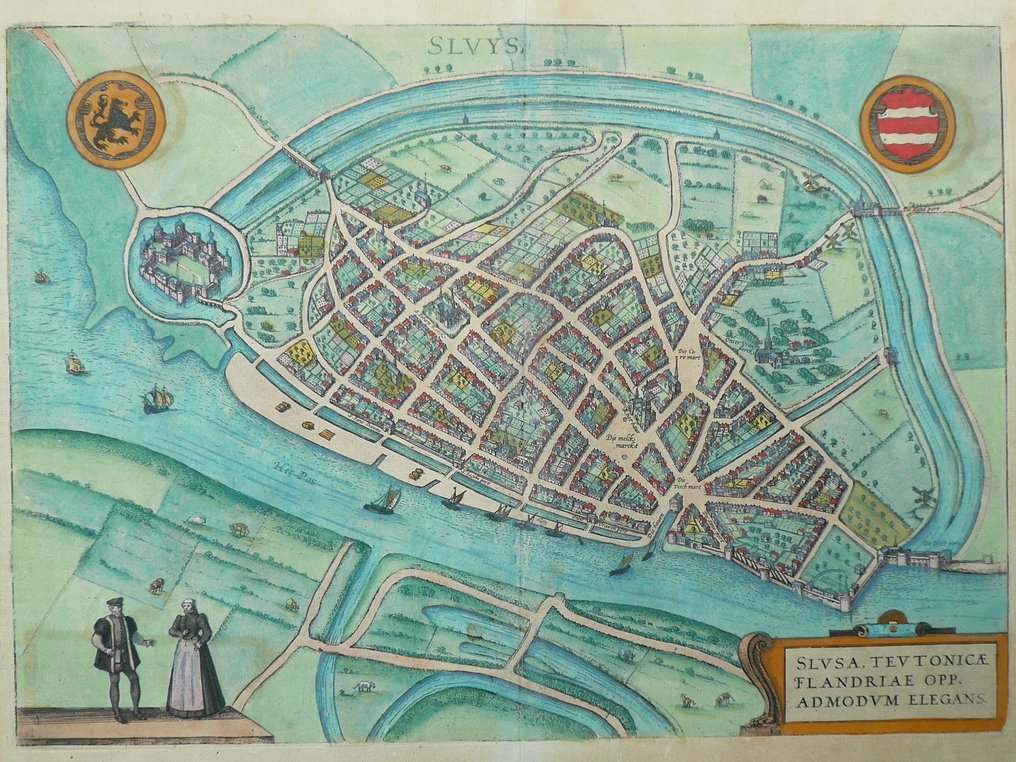
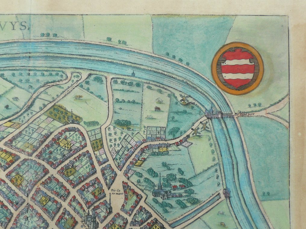
Netherlands - lock; G. Braun en F. Hogenberg - Sluys - 1575

06
days
02
hours
20
minutes
59
seconds
Starting bid
€ 1
No reserve price
No bids placed

Catawiki Buyer Protection

Your payment’s safe with us until you receive your object.View details

Trustpilot 4.4 | 122713 reviews

Rated Excellent on Trustpilot.

Sluys, a 16th‑century copper‑engraved city map of Sluis in the Netherlands, by Braun and Hogenberg, published in Cologne in 1575, hand coloured in the period, sheet size 34 × 46 cm, in excellent condition with a center fold and Latin text on the verso.

AI-assisted summary

Description from the seller

Blade: 34 x 46 cm.
Copper engraving appeared in: 'Urbium Praecipuarum Totius Mundi Liber Tertius'. Published by Georg Braun and Frans Hogenberg. Published in Cologne 1575.
Centerfold as issued. Verso: Latin text.

Shipment: insured.

Blade: 34 x 46 cm.
Copper engraving appeared in: 'Urbium Praecipuarum Totius Mundi Liber Tertius'. Published by Georg Braun and Frans Hogenberg. Published in Cologne 1575.
Centerfold as issued. Verso: Latin text.

Shipment: insured.

Details

Era
1400-1900
Over 200 years old
Yes
Country
Netherlands
Geographical specification
lock
Map maker/ publisher
G. Braun en F. Hogenberg
Map/ Book title
Sluys
Period
1575
Condition
Excellent
Technique
Copper engraving
Additional Information
16th-century city map. Large format.
Map colour
Contemporary hand colour
Height
34 cm
Width
46 cm
Sold by
The NetherlandsVerified
24917
Objects sold
100%
protop

Similar objects

For you in

Maps