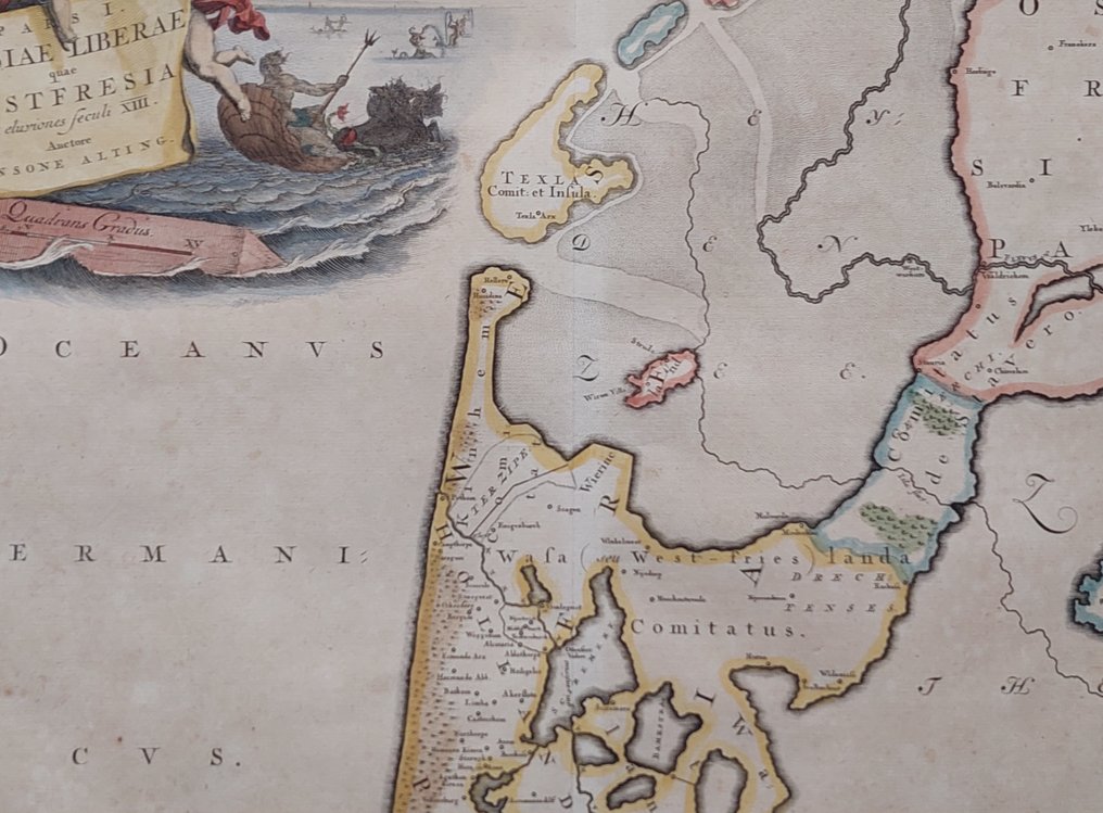
Netherlands - Noord-Holland, Texel, Friesland,; De Broen / Alting / Halma - Pars I Frisiae Liberae quae West Fresia (...) - 1725

04
days
20
hours
40
minutes
31
seconds
Current bid
€ 2
No reserve price
5 other people are watching this object
nlBidder 1197 €2
nlBidder 7377 €1

Catawiki Buyer Protection

Your payment’s safe with us until you receive your object.View details

Trustpilot 4.4 | 122813 reviews

Rated Excellent on Trustpilot.

Pars I Frisiae Liberae quae West Fresia, a copper-engraved map of West Friesland with Noord-Holland and part of Friesland, produced ca. 1725 by De Broen / Alting / Halma, in the Netherlands, 32 × 42 cm, later hand-coloured, in excellent condition with wide margins.

AI-assisted summary

Description from the seller

Dimensions: 32 x 42 cm

Condition: excellent. Generous margins. With fold as issued. Verso: blank. Beautifully hand-colored.

Part I of Free Frisia, which is West Frisia.

Map of West Friesland. It is part of 16 maps of the land of the Batavians and the Frisians, originally created for and included in M. Alting's 'Descriptio ant. agri Batavi et Frisii', page notitia Germ. infer. Reused in F. Halma's 'Tooneel der Vereenigde Nederlanden en onderhorige landschappen', opened in a general historical, genealogical, geographical, and political dictionary. circa 1725.

Details

Era
1400-1900
Over 200 years old
Yes
Number of items
1
Country
Netherlands
Geographical specification
Noord-Holland, Texel, Friesland,
Map maker/ publisher
De Broen / Alting / Halma
Map/ Book title
Pars I Frisiae Liberae quae West Fresia (...)
Period
1725
Condition
Excellent
Technique
Copper engraving
Additional Information
Beautiful hand-colored map of Noord-Holland and part of Friesland.
Map colour
Later hand colour
Height
32 cm
Width
42 cm
Sold by
The NetherlandsVerified
1560
Objects sold
100%
Privatetop

Similar objects

For you in

Maps