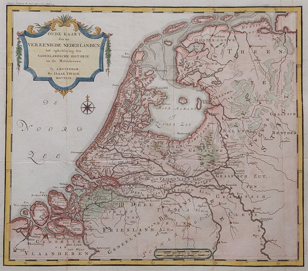
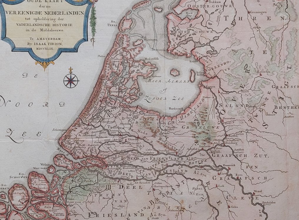
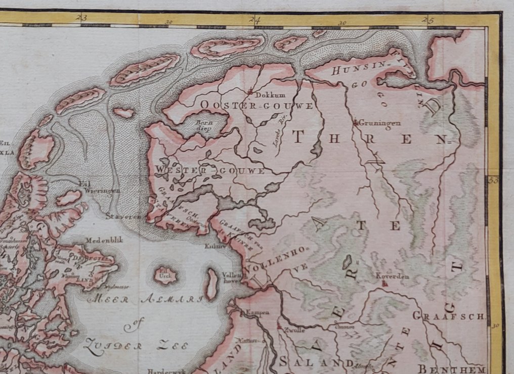
Netherlands - Middle Ages; Isaak Tirion - Oude Kaart der nu Vereenigde Nederlanden tot opheldering der Vaderlandsche Historie in de - 1749

05
days
04
hours
17
minutes
19
seconds
Starting bid
€ 1
No reserve price
No bids placed

Catawiki Buyer Protection

Your payment’s safe with us until you receive your object.View details

Trustpilot 4.4 | 122813 reviews

Rated Excellent on Trustpilot.

Old Map of the United Netherlands for elucidating the Fatherland’s History, a 1749 copper engraving by Isaak Tirion, depicting the Netherlands in the Middle Ages, with later hand colouring, measuring 27.5 by 31.5 cm.

AI-assisted summary

Description from the seller

Dimensions: 27.5 x 31.5 cm.

Condition: very good. Wide margins. Folds as issued. Verso: blank. Beautifully hand-colored.

Map with a beautiful title cartouche and scale bars. Netherlands during the Middle Ages. Compass rose in the North Sea.

Published by I. Tirion. 1749

Dimensions: 27.5 x 31.5 cm.

Condition: very good. Wide margins. Folds as issued. Verso: blank. Beautifully hand-colored.

Map with a beautiful title cartouche and scale bars. Netherlands during the Middle Ages. Compass rose in the North Sea.

Published by I. Tirion. 1749

Details

Era
1400-1900
Over 200 years old
Yes
Number of items
1
Country
Netherlands
Geographical specification
Middle Ages
Map maker/ publisher
Isaak Tirion
Map/ Book title
Oude Kaart der nu Vereenigde Nederlanden tot opheldering der Vaderlandsche Historie in de
Period
1749
Condition
Excellent
Technique
Copper engraving
Additional Information
Beautiful hand-colored copper engraving of the Netherlands.
Map colour
Later hand colour
Height
27.5 cm
Width
31.5 cm
Sold by
The NetherlandsVerified
1560
Objects sold
100%
Privatetop

Similar objects

For you in

Maps