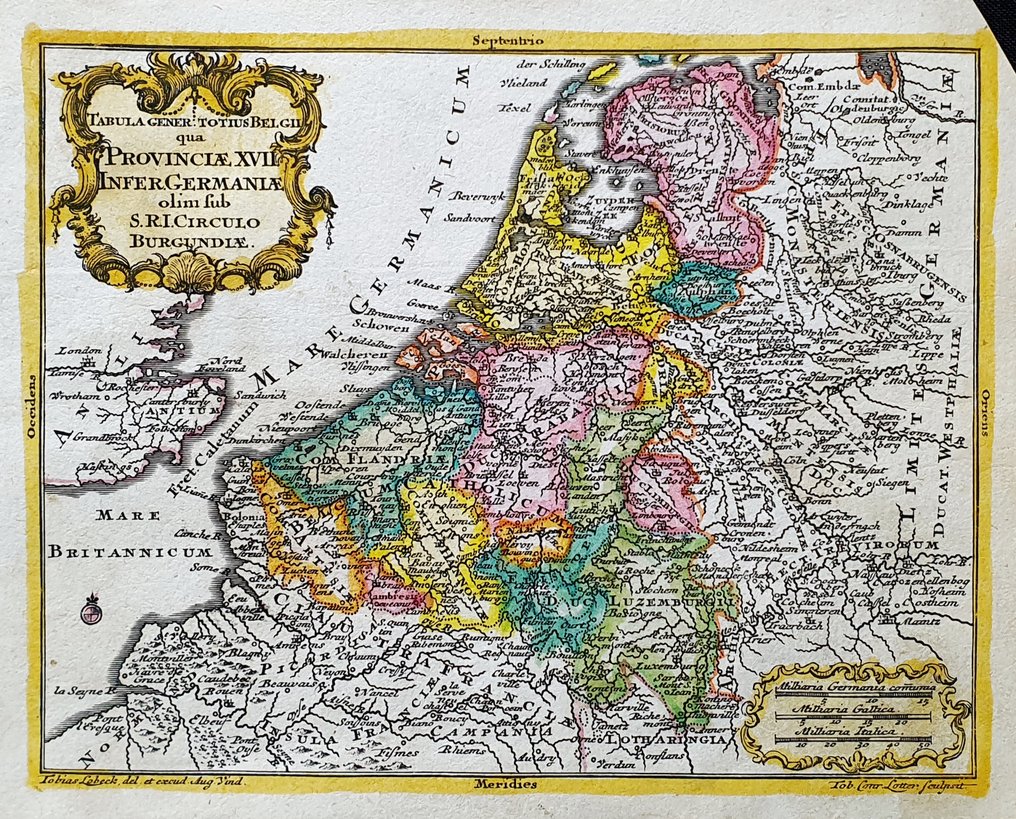
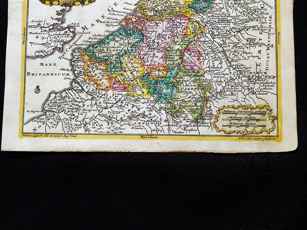
Europe - Holland / Belgium / Netherlands / Amsterdam; Tobias Conrad Lotter - Tabula Generalis Totius Belgii, quae Provinciae XVII - 1721-1750

04
days
22
hours
24
minutes
02
seconds
Current bid
€ 1
No reserve price
7 other people are watching this object
itBidder 2866 €1

Catawiki Buyer Protection

Your payment’s safe with us until you receive your object.View details

Trustpilot 4.4 | 122813 reviews

Rated Excellent on Trustpilot.

Tabula Generalis Totius Belgii, a hand-coloured copper engraving by Tobias Conrad Lotter from around 1740, depicting Holland / Belgium / Netherlands / Amsterdam, measuring 14 x 12 cm and in excellent condition with a small top‑right corner notch.

AI-assisted summary

Description from the seller

This Geographical Map is an engraving, 'rare,' on original copper from 1740.

This is a rare collectible map by Tobias Conrad Lotter, engraved in Germany around 1740, published in his fantastic work titled: "Atlas geographicus portatilis XXIX mappis orbis habitabilis regna exhibens...... Augsburg, 1740."

Rare map published in Germany, an impeccable cartographic representation for the period of creation, with well-defined and uniform watercolor shading, and with highly detailed toponymic features at every point.

Conditions: the conditions are truly more than good, as shown in the photo, with a small cut in the top/right corner, as shown in the photo.

The overall dimensions of the map are: 14 cm x 12 cm.

Seller's Story

I am a private Catawiki seller and I sell collectibles, a wonderful world.
Translated by Google Translate

Details

Era
1400-1900
Number of items
1
Country
Europe
Geographical specification
Holland / Belgium / Netherlands / Amsterdam
Map maker/ publisher
Tobias Conrad Lotter
Map/ Book title
Tabula Generalis Totius Belgii, quae Provinciae XVII
Period
1721-1750
Condition
Excellent
Technique
Copper engraving
Additional Information
Original colored copper engraving
Map colour
Contemporary hand colour
Height
14 cm
Width
12 cm
ItalyVerified
8382
Objects sold
100%
Privatetop

Similar objects

For you in

Maps