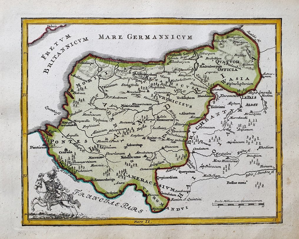
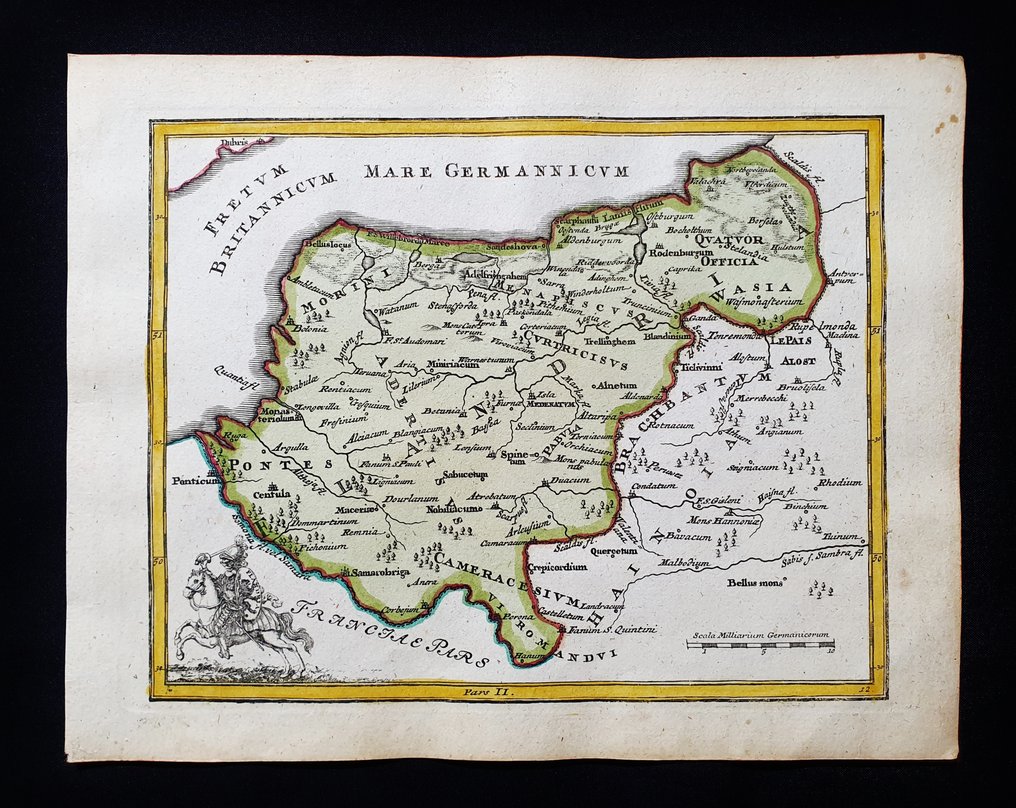
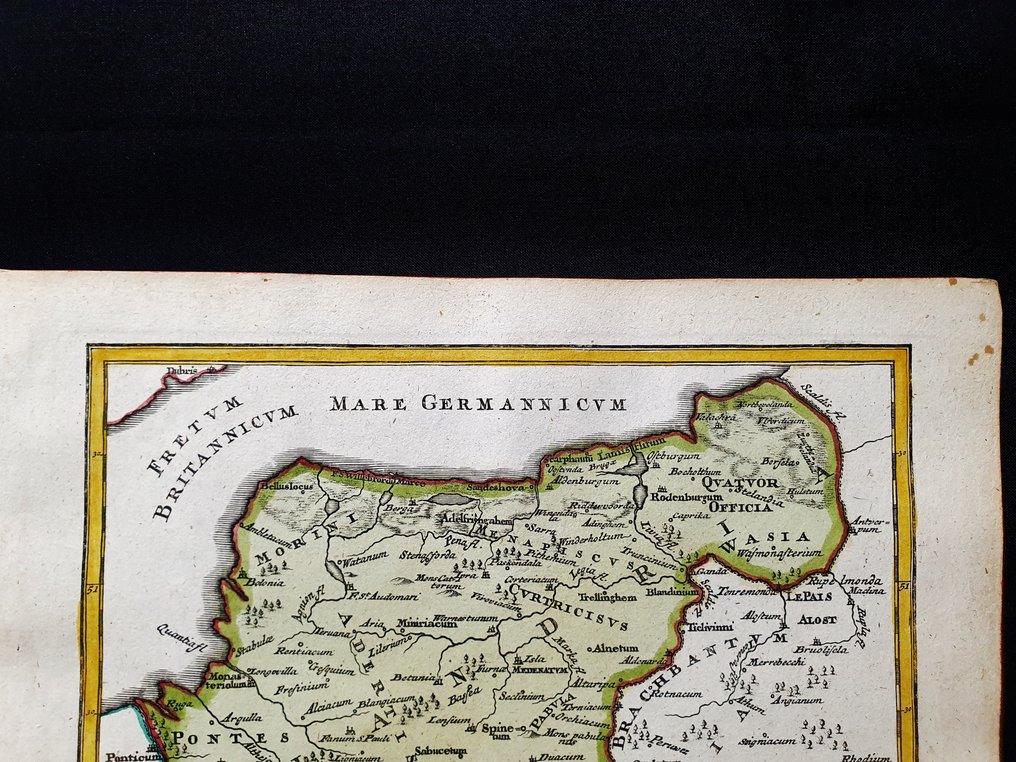
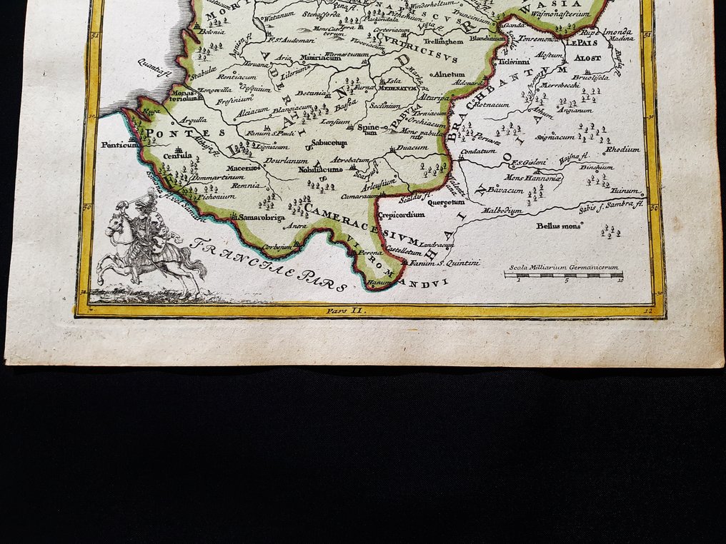
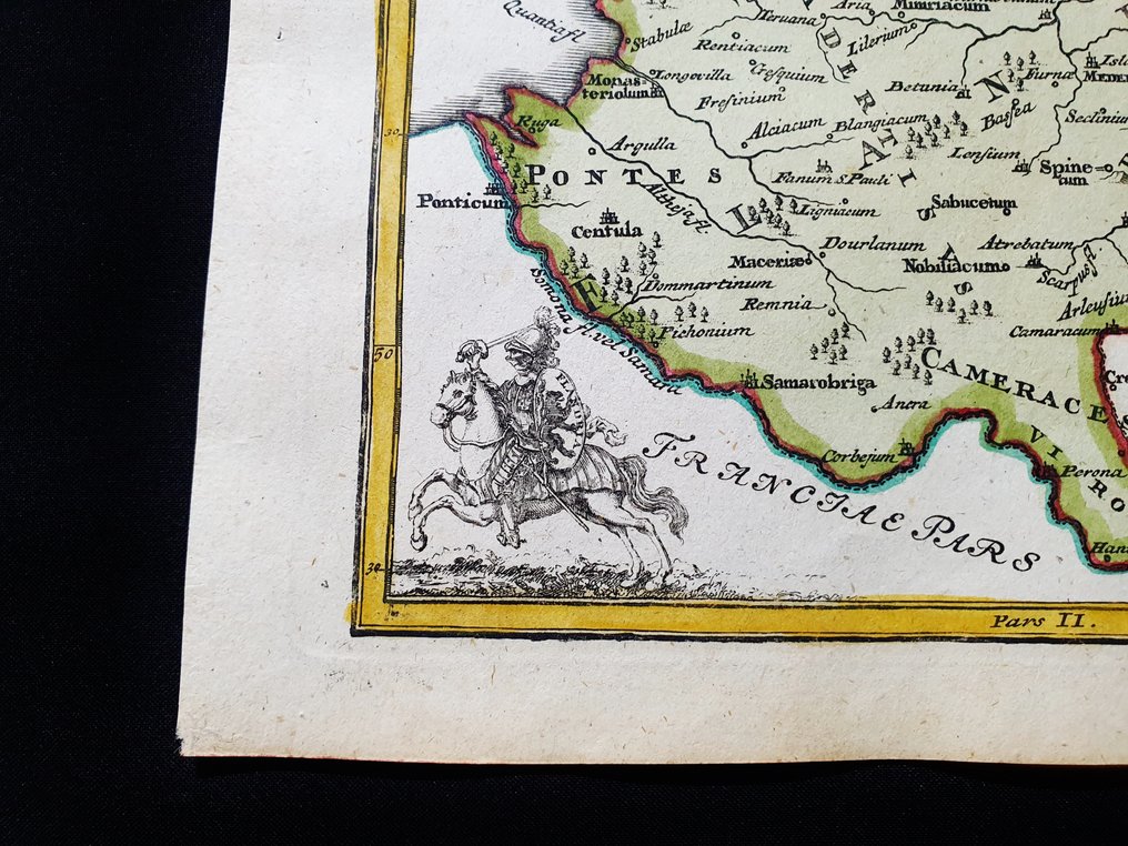
Europe - The Netherlands / Belgium / Holland / Amsterdam; Christopher Weigel & David Kohler - Flandriae - 1701-1720

04
days
23
hours
45
minutes
34
seconds
Current bid
€ 1
No reserve price
2 other people are watching this object
itBidder 9634 €1

Catawiki Buyer Protection

Your payment’s safe with us until you receive your object.View details

Trustpilot 4.4 | 122813 reviews

Rated Excellent on Trustpilot.

Flandriae, a copper engraving map by Christopher Weigel & David Kohler, Europe, depicting the Netherlands, Belgium, Holland and Amsterdam, measuring 23 × 18 cm, hand-coloured in period, in the original folio edition and in excellent condition.

AI-assisted summary

Description from the seller

This geographical map is an original engraving on copper from 1720 (18th century).

This is the Latin edition of Weigel's work, edited by D. Kohler on ancient geography.
The map in question comes from the work titled: 'Descriptio Orbis Antiquii in 44 tables exhibited by IO. DAVIDE KOELERO... from Nuremberg, 1720.'

Large map in 4th size, printed in GERMANY, with excellent original coloring, wide margins, and geographically well detailed at every point.

Conditions: the conditions are very good, as shown in the photo.

The overall dimensions of the map are: 23 cm x 18 cm.

Seller's Story

I am a private Catawiki seller and I sell collectibles, a wonderful world.
Translated by Google Translate

Details

Era
1400-1900
Number of items
1
Country
Europe
Geographical specification
The Netherlands / Belgium / Holland / Amsterdam
Map maker/ publisher
Christopher Weigel & David Kohler
Map/ Book title
Flandriae
Period
1701-1720
Condition
Excellent
Technique
Copper engraving
Additional Information
Original Folio copper engraving
Map colour
Contemporary hand colour
Height
23 cm
Width
18 cm
ItalyVerified
8382
Objects sold
100%
Privatetop

Similar objects

For you in

Maps