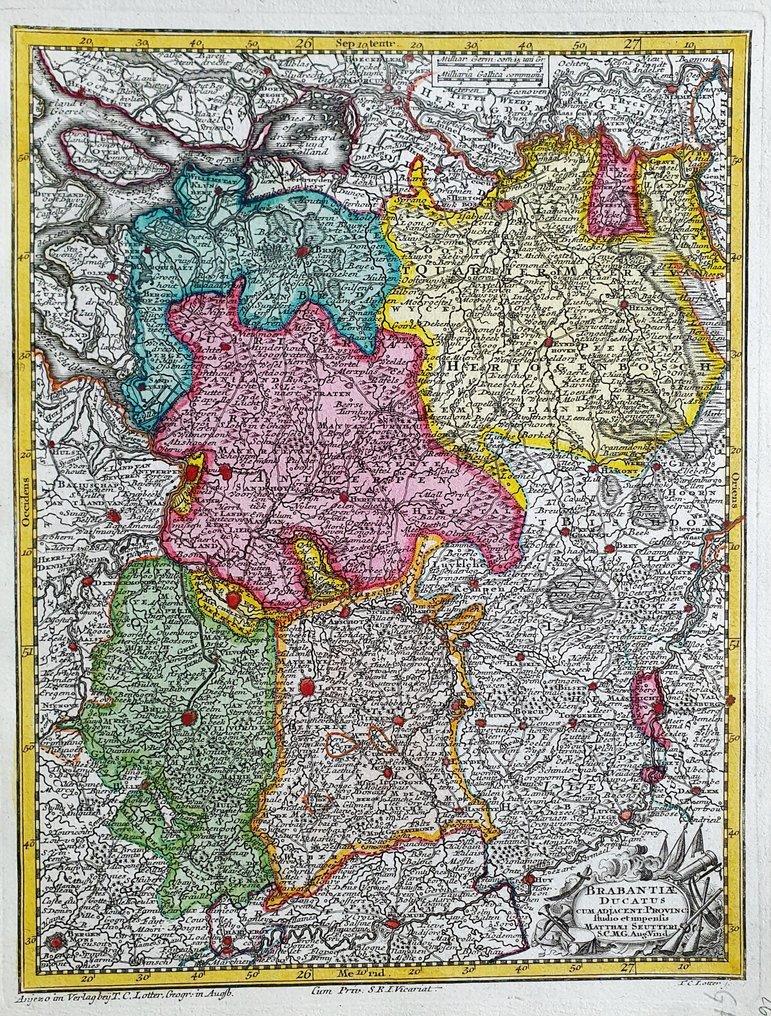
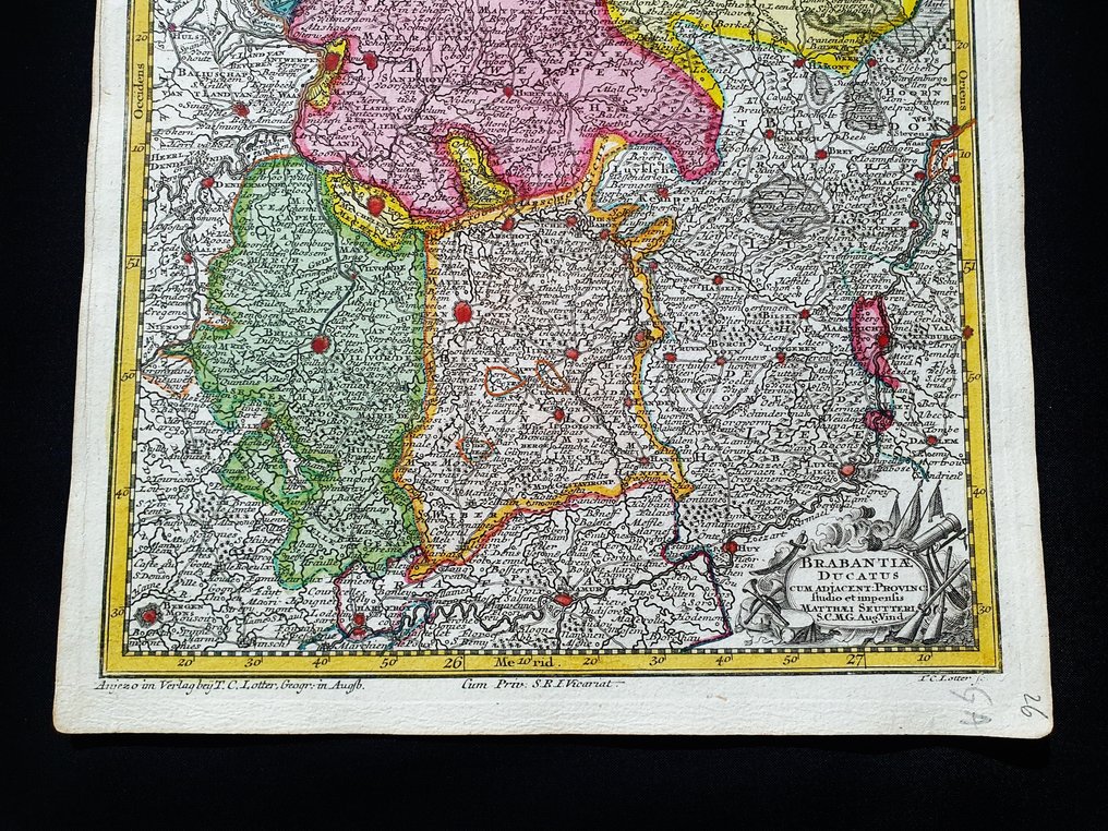
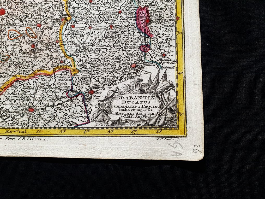
Europe - Holland / Belgium / Antwerp / Brussels / Leuven / Breda; Matthaus Seutter / C. Lotter - Brabantiae Ducatus - 1721-1750

04
days
22
hours
11
minutes
55
seconds
Current bid
€ 1
No reserve price
4 other people are watching this object
itBidder 6943 €1

Catawiki Buyer Protection

Your payment’s safe with us until you receive your object.View details

Trustpilot 4.4 | 122813 reviews

Rated Excellent on Trustpilot.

Brabantiae Ducatus, a hand-coloured copperplate engraving map by Matthaus Seutter (C. Lotter) depicting Holland, Belgium, Antwerp, Bruxells, Leuven and Breda, circa 1720, 29 x 22 cm, in excellent condition.

AI-assisted summary

Description from the seller

This rare geographic map is an original copper engraving from around 1720.

This is the very rare pocket edition by MATTHAUS SEUTTER, published in 1720, in his Atlas which bears the name of: "ATLAS MINOR - Atlas novus sive Tabulae geographicae totius Orbis faciem, partes, imperia, regna et provinciales exhibentes exactissima cura iuxta recent observationae Matthaeus Seutter-Grosser Atlas worinnen enthalten alle jenige geographische Universal Special und Particular-Mappen......AUGSBURG, 1720"

Beautiful map published in Germany, with excellent and original watercolour work, wide margins and geographically well detailed at every point.

Conditions: the conditions are really more than good, as shown in the photo.

The overall measurements of the map are: 29 cm x 22 cm.

Seller's Story

I am a private Catawiki seller and I sell collectibles, a wonderful world.
Translated by Google Translate

Details

Era
1400-1900
Number of items
1
Country
Europe
Geographical specification
Holland / Belgium / Antwerp / Brussels / Leuven / Breda
Map maker/ publisher
Matthaus Seutter / C. Lotter
Designer/Artist/Maker
Matthaus Seutter
Map/ Book title
Brabantiae Ducatus
Period
1721-1750
Condition
Excellent
Technique
Copper engraving
Additional Information
Original colored copper plate
Map colour
Contemporary hand colour
Height
29 cm
Width
22 cm
ItalyVerified
8382
Objects sold
100%
Privatetop

Similar objects

For you in

Maps