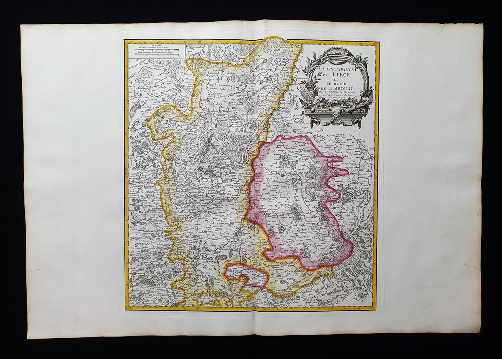
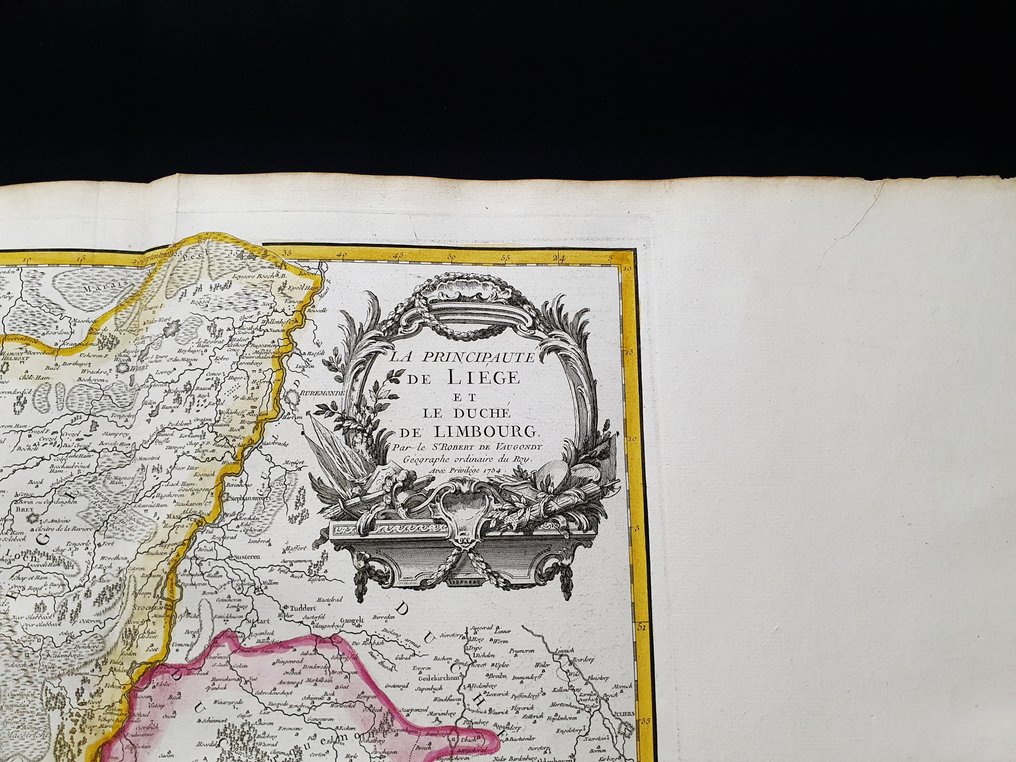
Europe - Belgium / Antwerp / The Netherlands / Liège / Holland; Robert de Vaugondy - La Principaute de Liege et le Duche de Limbourg - 1751-1760

04
days
16
hours
10
minutes
58
seconds
Current bid
€ 20
No reserve price
5 other people are watching this object
beBidder 2202 €20
itBidder 5771 €15
beBidder 2202 €10

Catawiki Buyer Protection

Your payment’s safe with us until you receive your object.View details

Trustpilot 4.4 | 122813 reviews

Rated Excellent on Trustpilot.

This imperial‑fol io coloured copper plate engraving by Robert de Vaugondy, dating to 1757, is a rare first edition map titled La Principaute de Liege et le Duche de Limbourg, depicting Belgium, Antwerp, the Netherlands, Liège and Holland, and measuring 82 × 56 cm.

AI-assisted summary

Description from the seller

This huge geographical map in IMPERIAL-Folio, large, is an original copper engraving from 1757.

This is the rare first edition of VAUGONDY, published in 1757 in his very rare and fantastic Atlas, which bears the title: "Atlas Universel by M. Robert Geographe, ordinary cartographer to the King, and by M. Robert de Vaugondy, his son, ordinary geographer to the King and..." in Paris, 1757.

Very beautiful and very large map published in France, with contemporaneous coloring, wide margins, and geographically well detailed in every point.

Conditions: the conditions are really very, very, very good, excellent in every way, as shown in the photo.

The overall dimensions of this enormous map are: 82 cm x 56 cm.

Seller's Story

I am a private Catawiki seller and I sell collectibles, a wonderful world.
Translated by Google Translate

Details

Era
1400-1900
Number of items
1
Country
Europe
Geographical specification
Belgium / Antwerp / The Netherlands / Liège / Holland
Map maker/ publisher
Robert de Vaugondy
Map/ Book title
La Principaute de Liege et le Duche de Limbourg
Period
1751-1760
Condition
Excellent
Technique
Copper engraving
Additional Information
Original IMPERIAL-FOLIO colored copper plate
Map colour
Contemporary hand colour
Height
82 cm
Width
56 cm
ItalyVerified
8382
Objects sold
100%
Privatetop

Similar objects

For you in

Maps