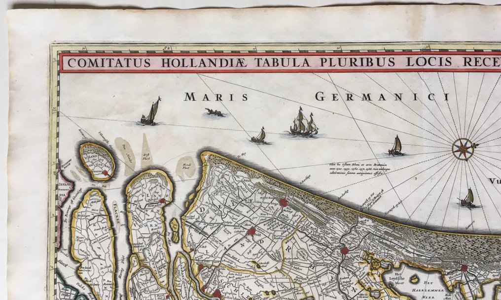
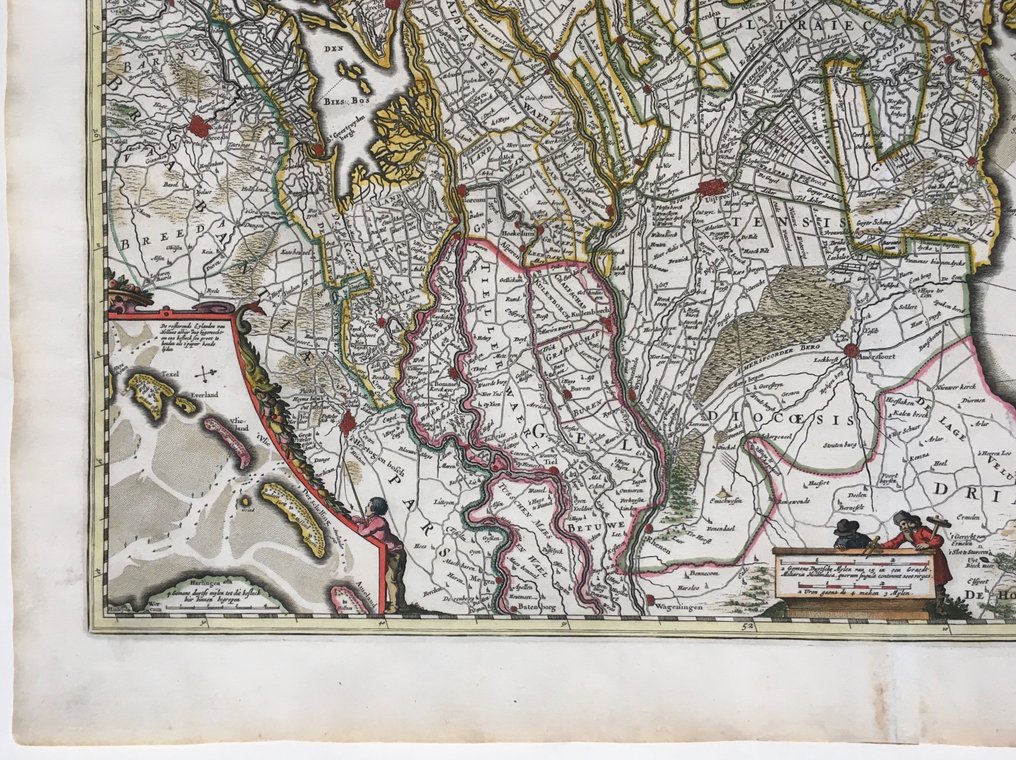
Netherlands - North and South Holland, Utrecht; C.J. Visscher - Comitatus Hollandiae ... - 1681-1700

Opens 11:00
Starting bid
€ 1

Add to your favourites to get an alert when the auction starts.

Ilaria Colombo
Expert
Selected by Ilaria Colombo

Specialist in old books, specialising in theological disputes since 1999.

Estimate  € 300 - € 400
Catawiki Buyer Protection

Your payment’s safe with us until you receive your object.View details

Trustpilot 4.4 | 122813 reviews

Rated Excellent on Trustpilot.

Description from the seller

Full title at the top: 'Comitatus Hollandiae Tabula Pluribus Locis Recens Emendata a Nicolao I. Visschero'.
Original by Claes Jansz. Vischer, revised and published by Nicolaes Visscher II, circa 1684.
Depicted are the provinces of North Holland, South Holland, and Utrecht.
Top right of the coat of arms of Holland with mythological figures and sea creatures. Orientation: West above.
Linksonder is an insert card with 'The remaining Islands of Hollant [...]', Texel to Ameland.
Central below me are two figures with land surveying instruments, a compass rose, and ships at sea.
Excellent condition, full sheet 52.5x62 cm with full margins, on sturdy handmade paper, center fold as issued, mainly border-colored, blank verso.

Details

Era
1400-1900
Country
Netherlands
Geographical specification
North and South Holland, Utrecht
Map maker/ publisher
C.J. Visscher
Map/ Book title
Comitatus Hollandiae ...
Period
1681-1700
Condition
Excellent
Technique
Copper engraving
Additional Information
Beautiful card
Map colour
Later hand colour
Height
46.5 cm
Width
56.5 cm
BelgiumVerified
405
Objects sold
100%
Privatetop

Similar objects

For you in

Maps