Germany - Sity; R.Mantau - Der Fraien stadt Danzig - 1951-1960


00
days
23
hours
50
minutes
29
seconds

11 other people are watching this object
 Bidder 6077 Bidder 6077 | €11 | |
|---|---|---|
| Bidder 3599 | €10 | |
| Bidder 6077 | €8 | |
Catawiki Buyer Protection
Your payment’s safe with us until you receive your object.View details
Trustpilot 4.4 | 123779 reviews
Rated Excellent on Trustpilot.
Der Fraien stadt Danzig map by R. Mantau, Germany, Sity.
AI-assisted summary
Description from the seller
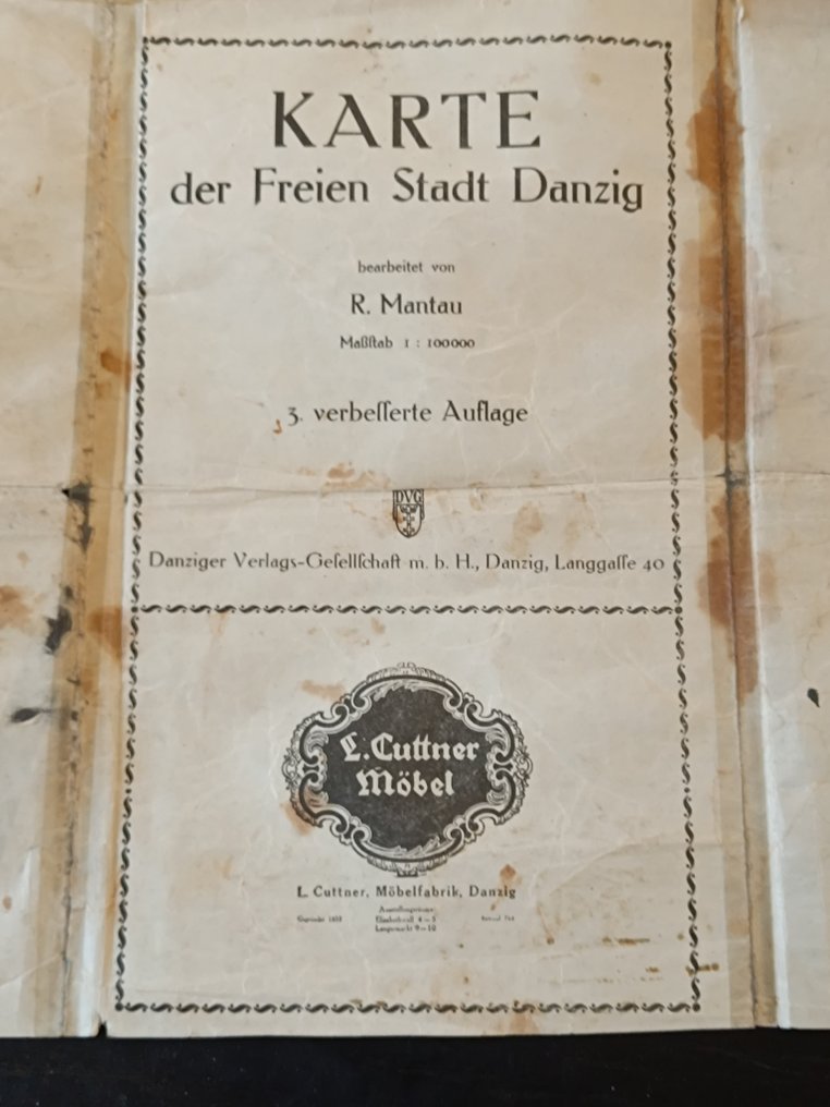
Karte der Freien Stadt Danzig – 3rd Revised Edition, c. 1930s – Large Folding Map
Description:
Original historical map titled “Karte der Freien Stadt Danzig”, edited by R. Mantau, issued by Danziger Verlags-Gesellschaft m.b.H., Danzig (Langgasse 40). This is the 3rd revised edition (3. verbesserte Auflage), scale 1:100,000.
The map depicts the Free City of Danzig (today Gdańsk, Poland) and surrounding areas during the interwar period. It includes detailed topography, waterways, railways, roads, settlements, and administrative borders. A comprehensive legend (Zeichenerklärung) is present.
Notably, the map features original period advertising for L. Cuttner Möbel, a well-known furniture manufacturer in Danzig (founded 1859), printed directly on the map margins. This makes the piece particularly attractive to collectors of historical cartography, Danzig memorabilia, and early 20th-century commercial ephemera.
Period:
circa 1930s (Free City of Danzig period, 1920–1939)
Publisher:
Danziger Verlags-Gesellschaft m.b.H., Danzig
Scale:
1 : 100,000
Condition:
Condition is average.
Visible folds and creases consistent with age and use
Glue marks and traces of past repairs along fold lines
Stains, discoloration, and foxing present
Small tears and edge wear in places
Despite these issues, the map remains complete, legible, and structurally intact, suitable for collection, study, or restoration.
Dimensions:
Large-format folding map (exact dimensions visible in photos).
Remarks:
A scarce and authentic cartographic document from the Free City of Danzig era, combining geographical, historical, and commercial significance.
Details
Era
1900-2000
Manufacturer/ Brand
L.Cuttner möbelfabrik
Number of items
1
Country
Germany
Geographical specification
Sity
Map maker/ publisher
R.Mantau
Designer/Artist/Maker
R.Mantau
Map/ Book title
Der Fraien stadt Danzig
Period
1951-1960
Condition
Poor
Technique
Lithography
Additional Information
Thirde
Map colour
Printed in colour
Height
80 cm
Width
60 cm
Sold by
