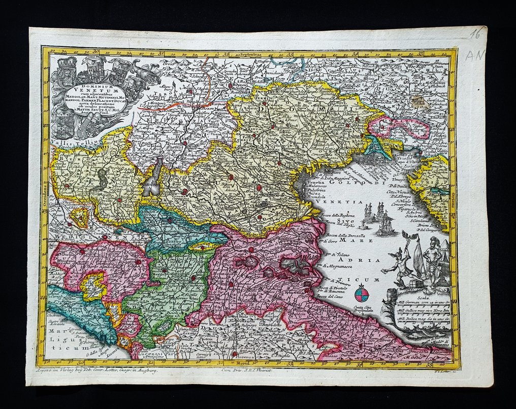
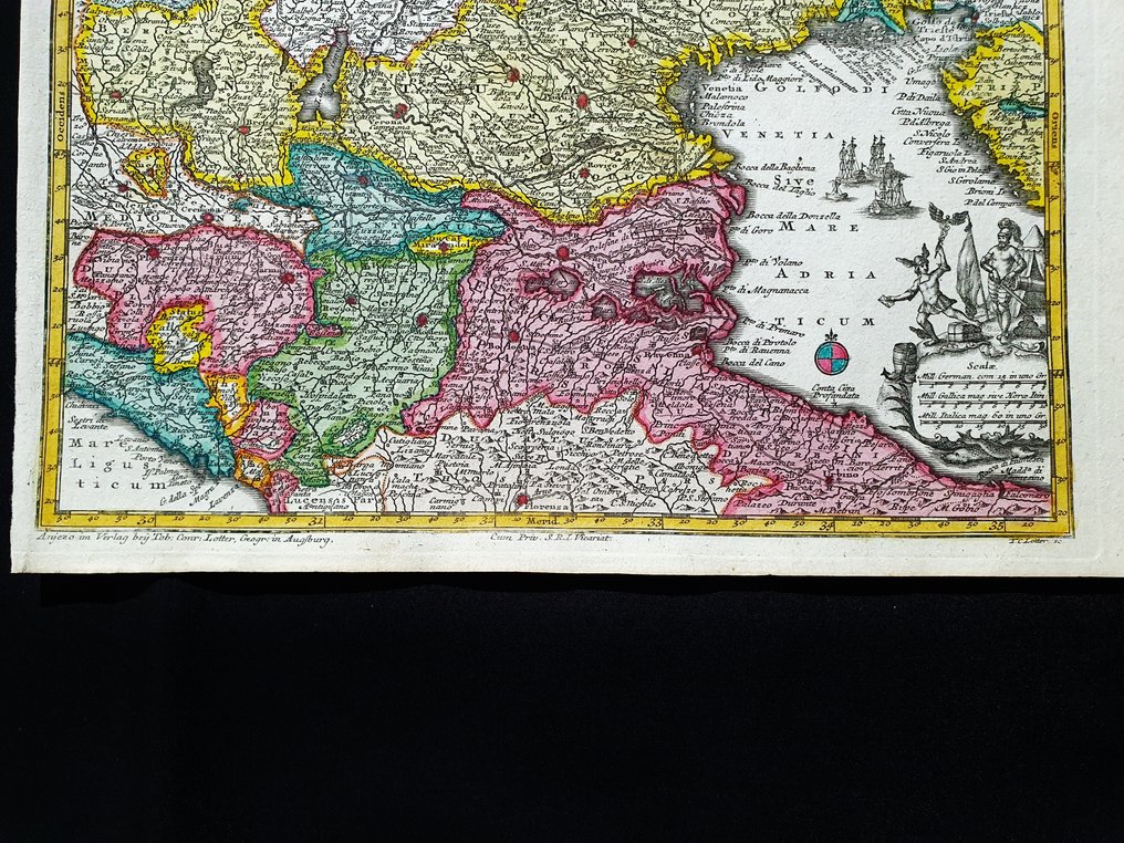
Europe - North-East Italy / Trentino / Veneto / Lombardy / Venice / Trieste / Belluno; Matthaus Seutter / C. Lotter - Dominium Venetum - 1721-1750

03
days
06
hours
30
minutes
13
seconds
Current bid
€ 50
No reserve price
34 other people are watching this object
itBidder 0321 €50
itBidder 2312 €45
itBidder 5854 €40

Catawiki Buyer Protection

Your payment’s safe with us until you receive your object.View details

Trustpilot 4.4 | 123878 reviews

Rated Excellent on Trustpilot.

Dominium Venetum, an original copper-plate engraving by Matthaus Seutter (published by C. Lotter) circa 1720, hand-coloured, measuring 28 x 22 cm, depicting Italia Nord‑East (Trentino, Veneto, Lombardia, Venezia, Trieste, Belluno) in excellent condition.

AI-assisted summary

Description from the seller

This rare geographical map is an original copper engraving from around 1720.

This is the very rare pocket edition of Matthäus Seutter's atlas, published in 1720, titled 'ATLAS MINOR - Atlas novus sive Tabulae geographicae totius Orbis faciem, partes, imperia, regna et provincias exhibentes exactissima cura iuxta recentissima observationae Matthaeus Seutter-Grosser Atlas,' which contains all the universal, special, and particular geographical maps of the entire world, including regions, empires, kingdoms, and provinces, created with the utmost precision according to the latest observations. Augsburg, 1720.

Beautiful map published in Germany, with excellent and original watercolor, wide margins, and geographically well detailed at every point.

Conditions: the conditions are more than good, as shown in the photo.

The overall measurements of the map are: 28 cm x 22 cm.

Seller's Story

I am a private Catawiki seller and I sell collectibles, a wonderful world.
Translated by Google Translate

Details

Era
1400-1900
Number of items
1
Country
Europe
Geographical specification
North-East Italy / Trentino / Veneto / Lombardy / Venice / Trieste / Belluno
Map maker/ publisher
Matthaus Seutter / C. Lotter
Designer/Artist/Maker
Matthaus Seutter
Map/ Book title
Dominium Venetum
Period
1721-1750
Condition
Excellent
Technique
Copper engraving
Additional Information
Original colored copper plate
Map colour
Contemporary hand colour
Height
28 cm
Width
22 cm
ItalyVerified
8468
Objects sold
100%
Privatetop

Similar objects

For you in

Maps