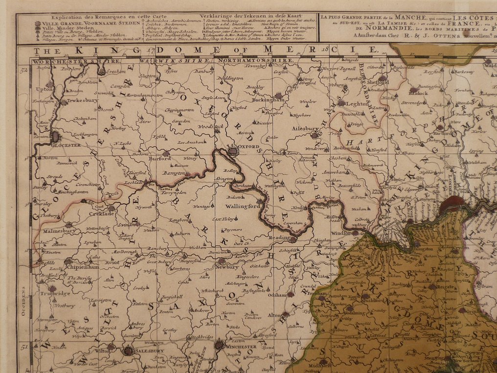
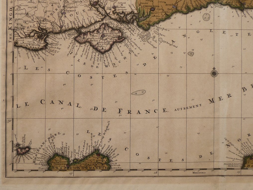
Europe - The Channel / Normandie / Kent / Isle of Wight / La Manche; R. en J. Ottens - La plus grande partie de la Manche (...) - 1701-1720

13
days
19
hours
44
minutes
25
seconds
Starting bid
€ 1
No reserve price
Ilaria Colombo
Expert
Selected by Ilaria Colombo

Specialist in old books, specialising in theological disputes since 1999.

Estimate  € 200 - € 250
No bids placed

Catawiki Buyer Protection

Your payment’s safe with us until you receive your object.View details

Trustpilot 4.4 | 123113 reviews

Rated Excellent on Trustpilot.

La plus grande partie de la Manche by R. en J. Ottens, a copper-engraved map with contemporary hand colour, published in Amsterdam circa 1720 as part of Atlas Factice; dimensions 50 x 60 cm and in excellent condition.

AI-assisted summary

Description from the seller

50 x 60 cm.
Copperengraving published in an "Atlas Factice" by R. en J. Ottens. Published in Amsterdam ca. 1720.

Centrefold as published. Old coloured.

Insured shipping.

50 x 60 cm.
Copperengraving published in an "Atlas Factice" by R. en J. Ottens. Published in Amsterdam ca. 1720.

Centrefold as published. Old coloured.

Insured shipping.

Details

Era
1400-1900
Country
Europe
Geographical specification
The Channel / Normandie / Kent / Isle of Wight / La Manche
Map maker/ publisher
R. en J. Ottens
Map/ Book title
La plus grande partie de la Manche (...)
Period
1701-1720
Condition
Excellent
Technique
Copper engraving
Additional Information
Rare 18th century map. Old coloured.
Map colour
Contemporary hand colour
Height
50 cm
Width
60 cm
Sold by
The NetherlandsVerified
24945
Objects sold
100%
protop

Similar objects

For you in

Maps