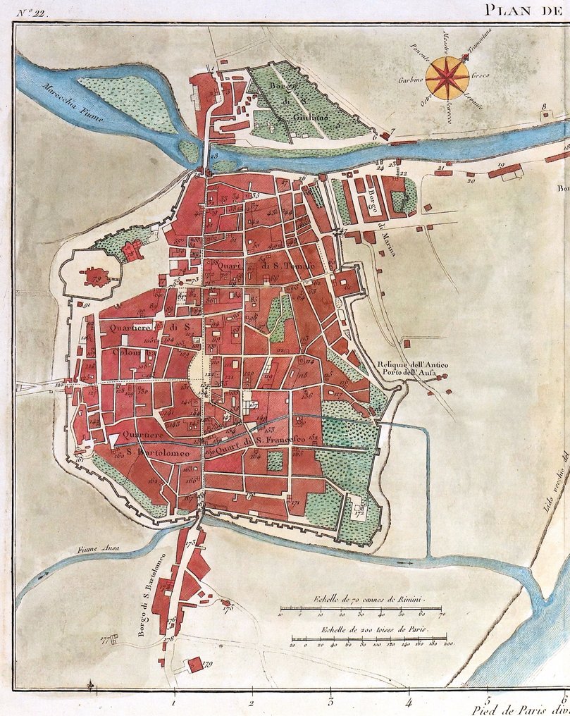
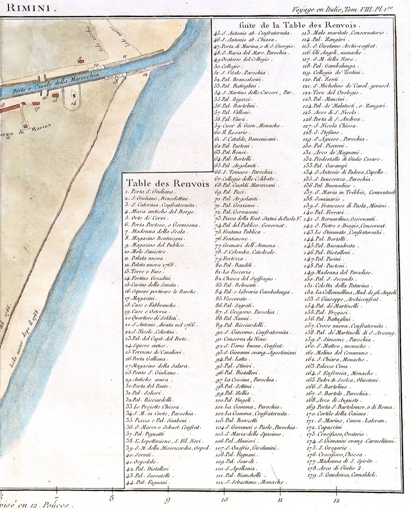
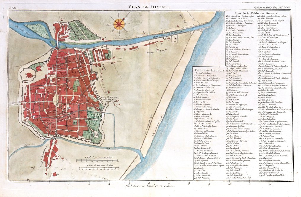
Italy - Rimini, Emilia Romagna; J. Lalande - Plan de Rimini - 1761-1780

Opens tomorrow
Starting bid
€ 1

Add to your favourites to get an alert when the auction starts.

Catawiki Buyer Protection

Your payment’s safe with us until you receive your object.View details

Trustpilot 4.4 | 123418 reviews

Rated Excellent on Trustpilot.

Description from the seller

Dimensions: 23 x 38 cm. (on sheet: 27,5 x 42 cm.).

Condition: very good
Verso: blank.

Author: J. J. De La Lande
Publisher: Desaint. Paris
Note: from "Voyage en Italie (...)"


Dimensions: 23 x 38 cm. (on sheet: 27,5 x 42 cm.).

Condition: very good
Verso: blank.

Author: J. J. De La Lande
Publisher: Desaint. Paris
Note: from "Voyage en Italie (...)"


Details

Era
1400-1900
Country
Italy
Geographical specification
Rimini, Emilia Romagna
Map maker/ publisher
J. Lalande
Map/ Book title
Plan de Rimini
Period
1761-1780
Condition
Excellent
Technique
Copper engraving
Additional Information
Original Antique Copper Engraving
Map colour
Contemporary hand colour
Height
27.5 cm
Width
42 cm
Sold by
ItalyVerified
4445
Objects sold
100%
protop

Similar objects

For you in

Maps