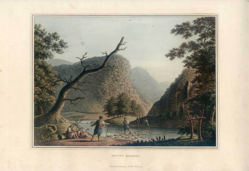
Unknown - Balkan; R. Bowyer-Luigi Mayer - Mount Balkan. - 1801-1820

Opens 11:00
Starting bid
€ 1

Add to your favourites to get an alert when the auction starts.

Catawiki Buyer Protection

Your payment’s safe with us until you receive your object.View details

Trustpilot 4.4 | 123418 reviews

Rated Excellent on Trustpilot.

Description from the seller

Road over the Balkan Mountain. Published by R. Bowyer, no. 80, Pall Mall, 1810.

Original aquatint with etching.
Size: 23.5 x 32.6 cm
Sheet: 32.8 x 47.4 cm.
Back: Blank.
Condition: Old colored, wide margins.
References: Abbey Travel in Aquatint & Lithography 1770 - 1860.....No. 371.

Views in the Ottoman Dominions, in Europe, in Asia, and some of the Mediterranean islands, from the original drawings taken for Sir Robert Ainslie, by Luigi Mayer

Details

Era
1400-1900
Country
Unknown
Geographical specification
Balkan
Map maker/ publisher
R. Bowyer-Luigi Mayer
Map/ Book title
Mount Balkan.
Period
1801-1820
Condition
Excellent
Technique
Etching
Additional Information
broad-ranging
Map colour
Contemporary hand colour
Height
23.5 cm
Width
32.6 cm
Sold by
GermanyVerified
45
Objects sold
Private

Similar objects

For you in

Maps