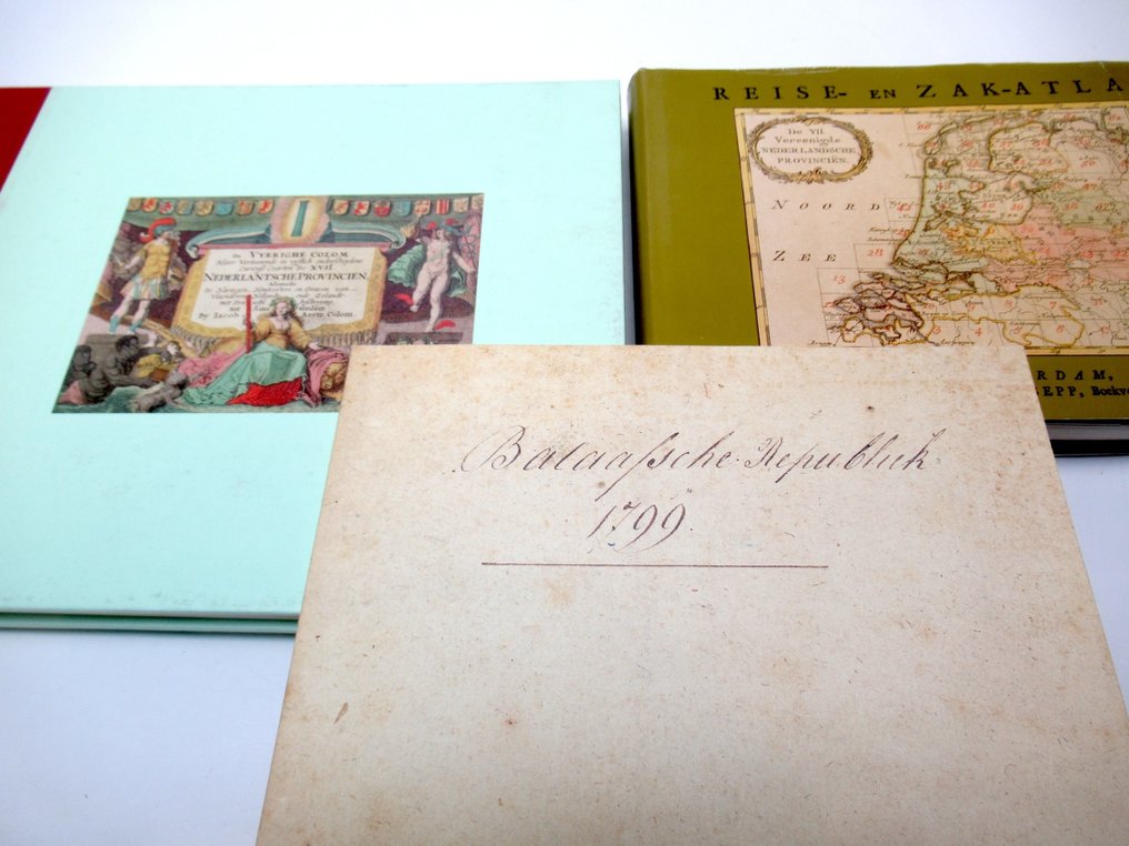
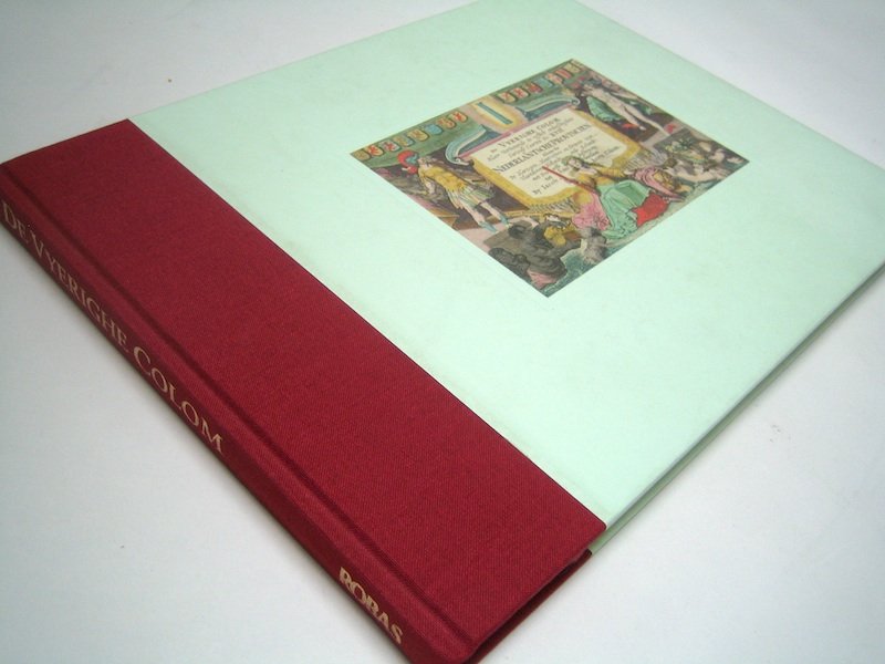
De Nederlanden - Netherlands/Belgium; Iacob Aertz. Colom, Jan Christiaan Sepp, Frans Hogenberg - Atlas der Bataafsche Republiek 1799 + De Vyerighe Colom + Reise- en Zak-Atlas - 1580-1799

00
days
07
hours
15
minutes
25
seconds
Current bid
€ 9
No reserve price
10 other people are watching this object
nlBidder 4326 €9
nlBidder 9223 €8
nlBidder 5841 €5

Catawiki Buyer Protection

Your payment’s safe with us until you receive your object.View details

Trustpilot 4.4 | 123878 reviews

Rated Excellent on Trustpilot.

Three facsimile editions of well-known minor atlases from the Netherlands, namely Atlas der Bataafsche Republiek 1799, De Vyerighe Colom and Reise- en Zak-Atlas, in excellent condition and each measuring 22 × 29 cm.

AI-assisted summary

Description from the seller

1- Atlas of the Batavian Republic 1799, according to its current division into Departments and Districts. In nine very precisely engraved and delineated maps - published in Leiden by B. du Mortier and Son, 1800 - facsimile edition: Alphen aan den Rijn, Canaletto/Repro-Holland, 2002 - introduction: D.I. Blonk - 26 pages - softcover - 21 x 15 cm.

Condition: in very good condition.

Wanted edition!

2- The Vyerighe Colom. The 17 Dutch Provinces - Jacob Aertz. Colom, Amsterdam, 1660 - facsimile edition: Robas, Weesp, 1993 - with an introduction by Wil M. Groothuis - unpaginated - hardcover bound with linen spine - 22 x 29 cm (oblong).

Condition: in very good condition.

3 - New Geographical Dutch Travel and Commercial Atlas; containing 74 colored, folding maps of the United Netherlands - Jan Christiaan Sepp, Amsterdam, 1773 - facsimile edition: Alphen aan den Rijn, Atrium, 1987 - unpaginated - hardcover bound with dust jacket - 16 x 22 cm,

Condition: in very good condition.

total 3

Details

Era
1400-1900
Over 200 years old
No
Number of items
3
Country
De Nederlanden
Geographical specification
Netherlands/Belgium
Map maker/ publisher
Iacob Aertz. Colom, Jan Christiaan Sepp, Frans Hogenberg
Map/ Book title
Atlas der Bataafsche Republiek 1799 + De Vyerighe Colom + Reise- en Zak-Atlas
Period
1580-1799
Condition
Excellent
Technique
print
Additional Information
Facsimile editions of three famous minor atlases.
Height
22 cm
Width
29 cm
Sold by
The NetherlandsVerified
3985
Objects sold
100%
Privatetop

Similar objects

For you in

Maps