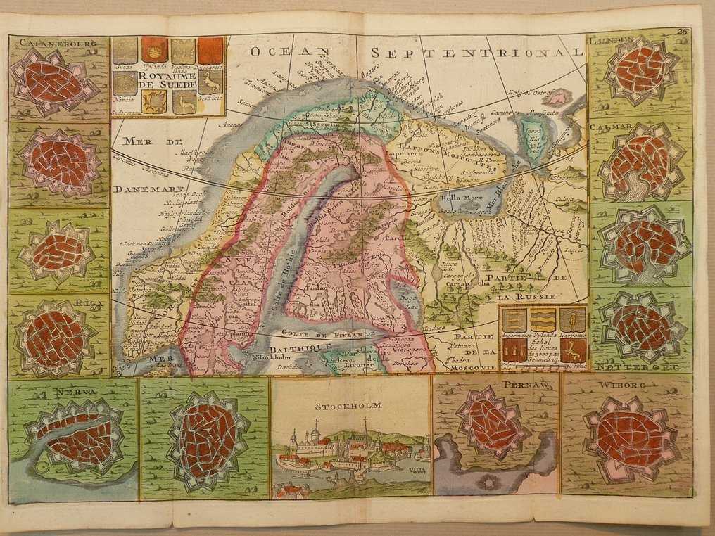
Europe - Scandinavia / Norway / Sweden / Finland; J. Ratelband - Royaume de Suede - 1701-1720

01
day
10
hours
43
minutes
14
seconds
Current bid
€ 1
No reserve price
Volker Riepenhausen
Expert
Selected by Volker Riepenhausen

Specialist in travel literature and pre-1600 rare prints with 28 years experience.

Estimate  € 170 - € 200
16 other people are watching this object
itBidder 7048 €1

Catawiki Buyer Protection

Your payment’s safe with us until you receive your object.View details

Trustpilot 4.4 | 123779 reviews

Rated Excellent on Trustpilot.

Royaume de Suede is a copper-engraved map by J. Ratelband of Europe covering Scandinavia (Norway, Sweden, Finland) in contemporary hand colour, 18 × 26 cm, excellent condition, with city plans on the sides and published in Amsterdam in 1732 in Geographisch-Toneel.

AI-assisted summary

Description from the seller

Copperengraving published in: "Geographisch-Toneel, of uitgesochte kaarten, tot gemak der officieren, reisigers en liefhebbers". J. Ratelband. Amsterdam 1732.
Folds as published.

Insured shipping.

Copperengraving published in: "Geographisch-Toneel, of uitgesochte kaarten, tot gemak der officieren, reisigers en liefhebbers". J. Ratelband. Amsterdam 1732.
Folds as published.

Insured shipping.

Details

Era
1400-1900
Country
Europe
Geographical specification
Scandinavia / Norway / Sweden / Finland
Map maker/ publisher
J. Ratelband
Map/ Book title
Royaume de Suede
Period
1701-1720
Condition
Excellent
Technique
Copper engraving
Additional Information
Decorative early 18th century map. With cityplans on the sides. "Carte à Figures".
Map colour
Contemporary hand colour
Height
18 cm
Width
26 cm
Sold by
The NetherlandsVerified
25034
Objects sold
99.82%
protop

Similar objects

For you in

Maps