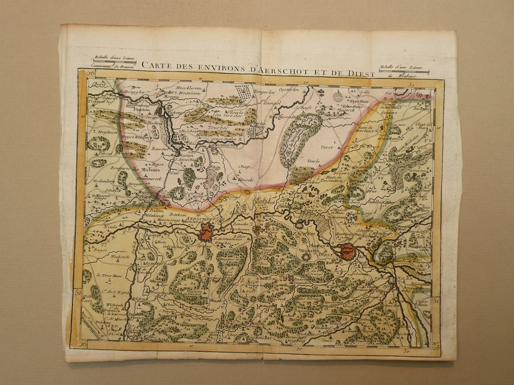
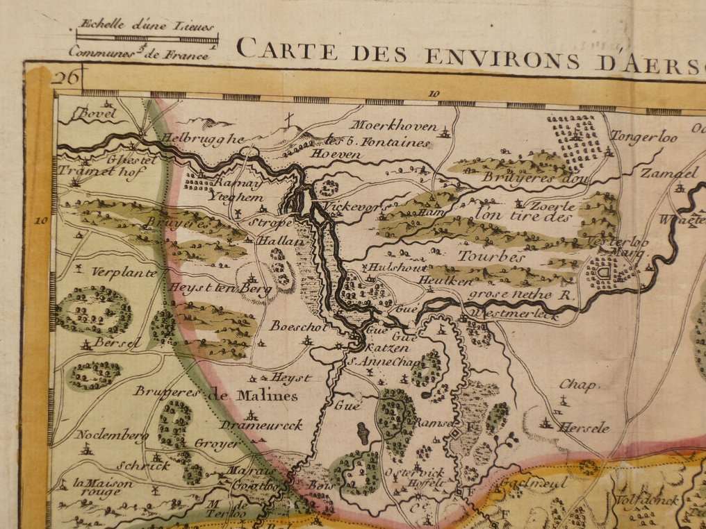
Belgium - Aarschot / Diest; J.B. Crepy - Carte des environs de D'Aerschot et de Diest - 1721-1750

00
days
12
hours
39
minutes
54
seconds
Current bid
€ 90
No reserve price
Volker Riepenhausen
Expert
Selected by Volker Riepenhausen

Specialist in travel literature and pre-1600 rare prints with 28 years experience.

Estimate  € 170 - € 200
12 other people are watching this object
beBidder 8643 €90
beBidder 7796 €85
beBidder 8643 €80

Catawiki Buyer Protection

Your payment’s safe with us until you receive your object.View details

Trustpilot 4.4 | 123779 reviews

Rated Excellent on Trustpilot.

Rare 18th‑century copper‑engraved map by J.B. Crepy, titled Carte des environs de D'Aerschot et de Diest, published in Paris in 1748, hand coloured with the area around Aarschot and Diest in Belgium, 21 x 26 cm, in excellent condition and folded as issued.

AI-assisted summary

Description from the seller

Copper engraving appeared in; County of Holland, Lordship of Utrecht, County of Zeeland, Zutphen, and Duchy of Brabant. In Paris at Crepy. 1748.
Fold as issued.

Insured shipment

Copper engraving appeared in; County of Holland, Lordship of Utrecht, County of Zeeland, Zutphen, and Duchy of Brabant. In Paris at Crepy. 1748.
Fold as issued.

Insured shipment

Details

Era
1400-1900
Country
Belgium
Geographical specification
Aarschot / Diest
Map maker/ publisher
J.B. Crepy
Map/ Book title
Carte des environs de D'Aerschot et de Diest
Period
1721-1750
Condition
Excellent
Technique
Copper engraving
Additional Information
Rare 18th-century map
Map colour
Contemporary hand colour
Height
21 cm
Width
26 cm
Sold by
The NetherlandsVerified
25034
Objects sold
99.82%
protop

Similar objects

For you in

Maps