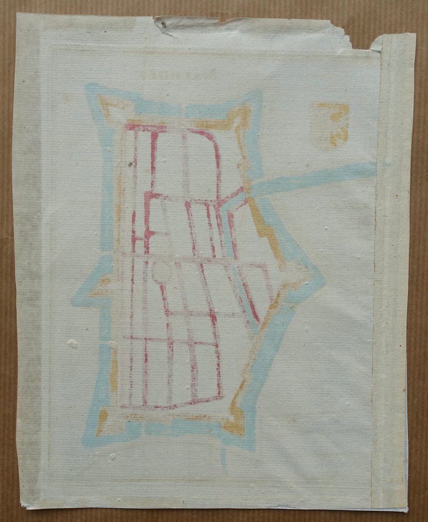
Netherlands - Naarden; C Merian - Naerden - 1659

06
days
04
hours
57
minutes
52
seconds
Starting bid
€ 1
No reserve price
No bids placed

Catawiki Buyer Protection

Your payment’s safe with us until you receive your object.View details

Trustpilot 4.4 | 123536 reviews

Rated Excellent on Trustpilot.

A 1659 copper-engraved map of Naarden, Netherlands, by Caspar Merian, published in Frankfurt am Main in Topographia Germaniæ Inferioris, later hand-coloured, 17.5 × 14 cm, in excellent condition.

AI-assisted summary

Description from the seller

Small tears at the top margin. Otherwise, a nice example. Back side: blank.

Issued in Frankfurt am Main by Caspar Merian in 'Topographia Germaniæ Inferioris (...),' Martin Zeiller.

Small tears at the top margin. Otherwise, a nice example. Back side: blank.

Issued in Frankfurt am Main by Caspar Merian in 'Topographia Germaniæ Inferioris (...),' Martin Zeiller.

Details

Era
1400-1900
Over 200 years old
Yes
Country
Netherlands
Geographical specification
Naarden
Map maker/ publisher
C Merian
Map/ Book title
Naerden
Period
1659
Condition
Excellent
Technique
Copper engraving
Additional Information
17th-century map of Naarden.
Map colour
Later hand colour
Height
17.5 cm
Width
14 cm
Sold by
The NetherlandsVerified
11736
Objects sold
100%
protop

Similar objects

For you in

Maps