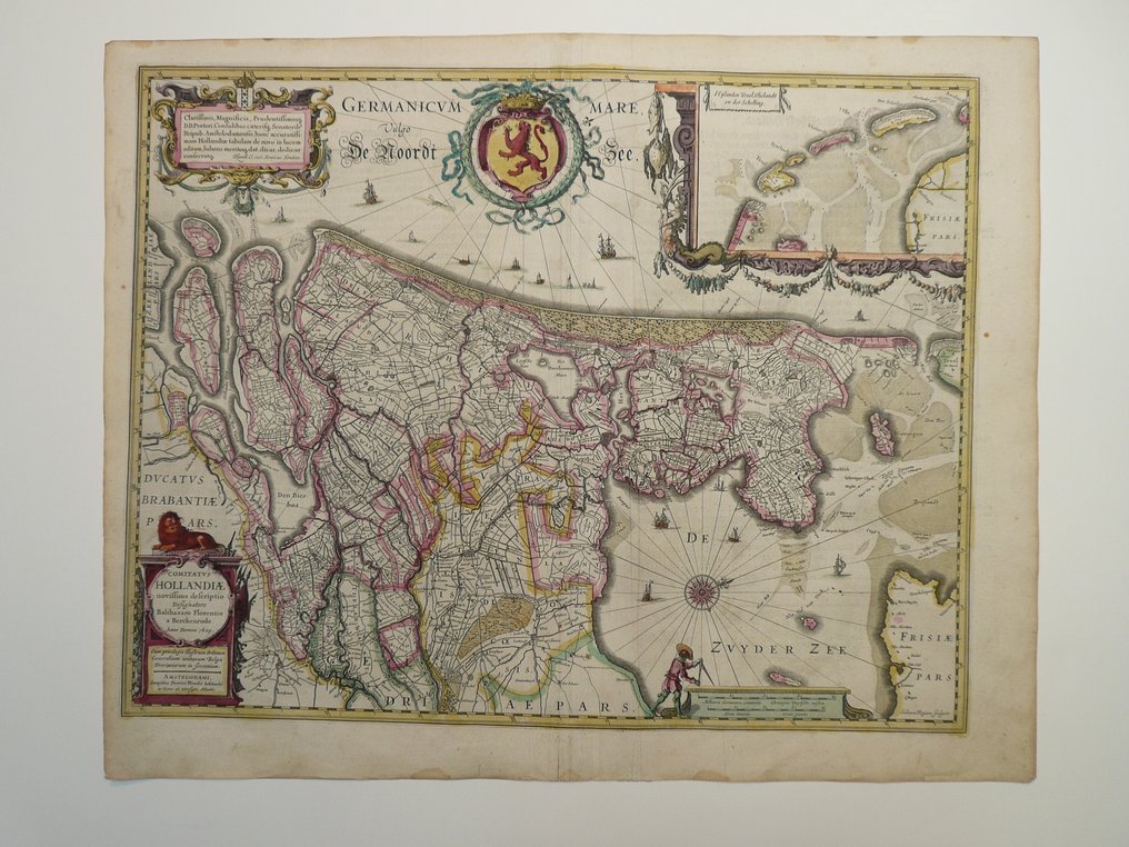
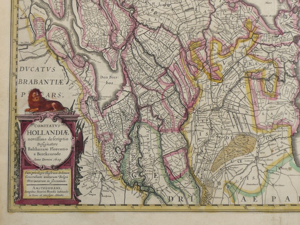
Netherlands - Holland / Texel; Henricus Hondius - Comitatus Hollandiae novissima descriptio - 1621-1650

13
days
01
hour
41
minutes
41
seconds
Current bid
€ 41
Reserve price not met
Volker Riepenhausen
Expert
Selected by Volker Riepenhausen

Specialist in travel literature and pre-1600 rare prints with 28 years experience.

Estimate  € 400 - € 600
23 other people are watching this object
nlBidder 9191 €41
nlBidder 9512 €10

Catawiki Buyer Protection

Your payment’s safe with us until you receive your object.View details

Trustpilot 4.4 | 123759 reviews

Rated Excellent on Trustpilot.

Description from the seller

Dimensions: 39.5 x 51 cm.
Copper engraving appeared in: 'Gerardi Mercatoris et J. Hondii Newer Atlas or Great World Book. This is a completely new, detailed, and improved depiction of the entire world (...). Published in Amsterdam by Johannes Janssonius, 1636.'
Condition: excellent. Center fold as issued. Age-toned. Verso German text. False fold on the right.

Insured shipment

Details

Era
1400-1900
Country
Netherlands
Geographical specification
Holland / Texel
Map maker/ publisher
Henricus Hondius
Map/ Book title
Comitatus Hollandiae novissima descriptio
Period
1621-1650
Condition
Excellent
Technique
Copper engraving
Additional Information
Rare 17th-century map of Holland
Map colour
Contemporary hand colour
Height
39.5 cm
Width
51 cm
Sold by
The NetherlandsVerified
25032
Objects sold
99.82%
protop

Similar objects

For you in

Maps