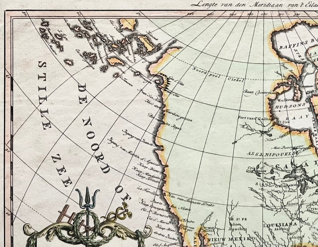
U.S.A., Canada, West Indië - U.S.A., Canada, West Indies; W.A. Bachienne / M. Schalekamp - Kaart van Noord Amerika. - 1781-1800

05
days
06
hours
05
minutes
37
seconds
Current bid
€ 4
No reserve price
Ilaria Colombo
Expert
Selected by Ilaria Colombo

Specialist in old books, specialising in theological disputes since 1999.

Estimate  € 130 - € 190
9 other people are watching this object
dkBidder 9381 €4
itBidder 2700 €2

Catawiki Buyer Protection

Your payment’s safe with us until you receive your object.View details

Trustpilot 4.4 | 122473 reviews

Rated Excellent on Trustpilot.

Map titled Kaart van Noord Amerika, published by W.A. Bachienne / M. Schalekamp, covering the USA, Canada and the West Indies.

AI-assisted summary

Description from the seller

Description: Rare map of North America, based on an earlier map by Rigobert Bonne. The map reflects Cook's new discoveries along the northwest coast of North America. In the lower left, the decorative title cartouche, and in the upper right, six scale bars in a cartouche.
To an earlier map by Rigobert Bonne. Back side unprinted.
Appeared as card 10 in 'Atlas for Clarification of Contemporary History, written by a group of learned men in England' by Willem Albert Bachienne, published by Matthijs Schalekamp in Amsterdam in 1785.


Dimensions: card 21.1 x 31.7 cm - sheet 28.3 x 44.5 cm

Condition: Good. Strong pressure. Later hand coloring. Tanned paper. An old annotation 'No 10' in the lower right margin. Signs of use in the margins. Several pinhole holes in the upper margin. See photos.

Insured shipment

Details

Era
1400-1900
Number of items
1
Country
U.S.A., Canada, West Indië
Geographical specification
U.S.A., Canada, West Indies
Map maker/ publisher
W.A. Bachienne / M. Schalekamp
Map/ Book title
Kaart van Noord Amerika.
Period
1781-1800
Condition
Good
Technique
Copper engraving
Additional Information
Rare 18th century Dutch map of North America
Map colour
Later hand colour
Height
21.1 cm
Width
31.7 cm
Sold by
The NetherlandsVerified
1764
Objects sold
100%
Privatetop

Similar objects

For you in

Maps