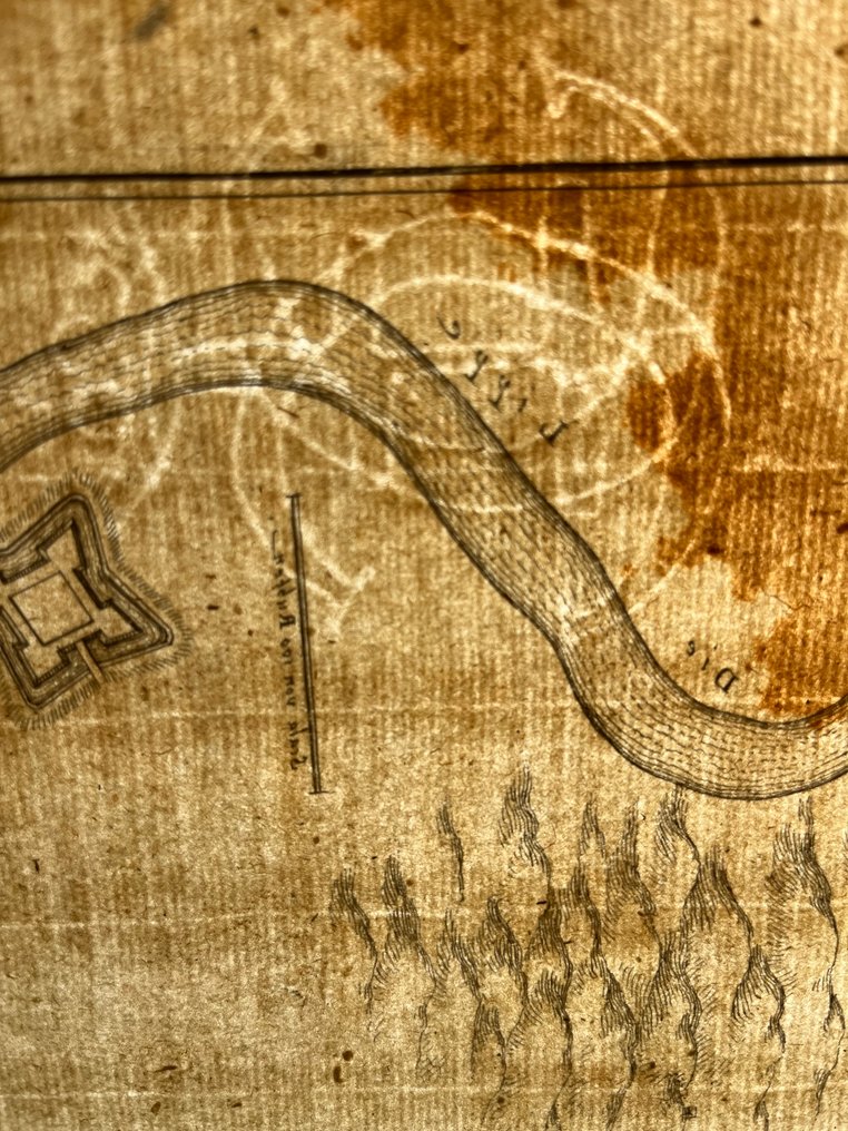
Netherlands - Wezel, Gelderland; C. Merian - Antique Fortification Map; Wezel; Gelderland; Netherlands; C. Merian - 1661-1680

06
days
08
hours
21
minutes
19
seconds
Starting bid
€ 1
No reserve price
Ilaria Colombo
Expert
Selected by Ilaria Colombo

Specialist in old books, specialising in theological disputes since 1999.

Estimate  € 170 - € 200
No bids placed

Catawiki Buyer Protection

Your payment’s safe with us until you receive your object.View details

Trustpilot 4.4 | 122190 reviews

Rated Excellent on Trustpilot.

Antique Fortification Map; Wezel; Gelderland; Netherlands, by C. Merian.

AI-assisted summary

Description from the seller

Original Antique Print – Plan of the City of Wezel (Weessell); Gelderland.
Engraved city and fortification plan of Wezel.
* Artist / Maker: After an anonymous artist
* Engraver / Publisher: Caspar Merian (1627–1686), one of the foremost German topographical engravers and publishers of the Baroque era
* Source: From Topographia Germaniae Inferioris (..), published c. 1660
Medium: Engraving/etching on hand-laid (verge) paper
Dimensions:
* Sheet size: 34,5 × 30 cm
Condition: Good, considering age. No bottom margin. General toning consistent with age and occasional minor handling defects. Please examine the scan carefully.

Details

Era
1400-1900
Number of items
1
Country
Netherlands
Geographical specification
Wezel, Gelderland
Map maker/ publisher
C. Merian
Map/ Book title
Antique Fortification Map; Wezel; Gelderland; Netherlands; C. Merian
Period
1661-1680
Condition
Good
Technique
Copper engraving
Additional Information
Good condition considering age
Map colour
Uncoloured map
Height
30 cm
BelgiumVerified
Private

Similar objects

For you in

Maps