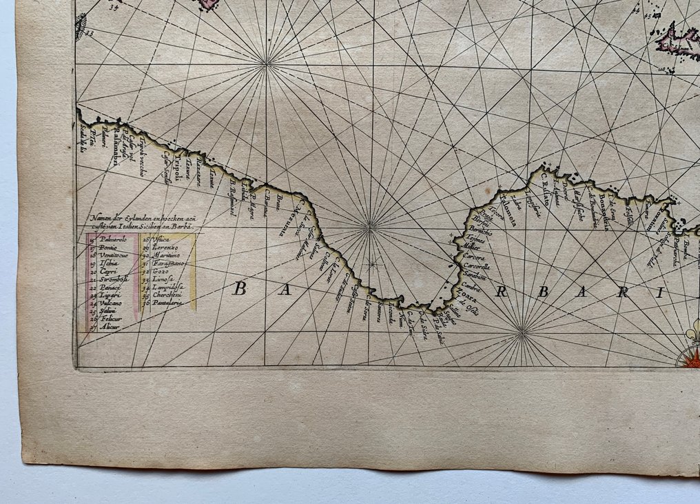
Europe - Eastern Mediterranean; J. Jansonnius - Pascaarte van't Oostelyckste deel vande Middelandsche Zee. - 1621-1650

09
days
16
hours
31
minutes
22
seconds
Current bid
€ 481
Reserve price not met
Ilaria Colombo
Expert
Selected by Ilaria Colombo

Specialist in old books, specialising in theological disputes since 1999.

Estimate  € 1,400 - € 2,500
32 other people are watching this object
frBidder 1165 €481
frBidder 1165 €461
nlBidder 7518 €441

Catawiki Buyer Protection

Your payment’s safe with us until you receive your object.View details

Trustpilot 4.4 | 121798 reviews

Rated Excellent on Trustpilot.

J. Janssonius Pascaarte van't Oostelyckste deel vande Middellandsche Zee, a copper engraving with contemporary hand colour of the Eastern Mediterranean dated 1650 in good condition.

AI-assisted summary

Description from the seller

J. Janssonius, Pascaarte van't Oostelyckste deel vande Middelandsche Zee.

Rare, beautifully original colored sea chart by J. Janssonius. This sea chart depicts the Eastern Mediterranean extending from southern Italy and Sicily across Greece and the Aegean to Asia Minor, Cyprus, and the Levantine coast, reaching as far as Barbary and Cyrenaica. The chart is crisscrossed with rhumb lines, adorned with three compass roses, and enriched with two ornate cartouches; one featuring two Ottoman figures symbolizing the region’s maritime powers.

Amsterdam, 1650.

Dimensions: 41,5 x 54 cm (engraving), 50 x 68 cm (paper).

Good condition.

Attention for US buyers: Due to recent postal restrictions shipping to the US can only be done by DHL, therefore higher shipping costs apply!

Details

Era
1400-1900
Number of items
1
Country
Europe
Geographical specification
Eastern Mediterranean
Map maker/ publisher
J. Jansonnius
Map/ Book title
Pascaarte van't Oostelyckste deel vande Middelandsche Zee.
Period
1621-1650
Condition
Good
Technique
Copper engraving
Additional Information
Rare sea chart of the Eastern Mediterranean by J. Janssonius in original colour
Map colour
Contemporary hand colour
Height
50 cm
Width
68 cm
FranceVerified
1381
Objects sold
100%
protop

Similar objects

For you in

Maps