South America - West Indies; Central America; Straits of Magellan; Florida; Paolo Forlani - La Descrittione Di Tutto Il Peru - 1561-1580


09
days
13
hours
54
minutes
46
seconds
Current bid
€ 2,500
Reserve price not met

Expert
Selected by Ilaria Colombo
Specialist in old books, specialising in theological disputes since 1999.
Estimate € 22,000 - € 25,000
7 other people are watching this object
 Bidder 1237 Bidder 1237 | €2,500 | |
|---|---|---|
 Bidder 2747 Bidder 2747 | €1,000 |
Catawiki Buyer Protection
Your payment’s safe with us until you receive your object.View details
Trustpilot 4.4 | 121798 reviews
Rated Excellent on Trustpilot.
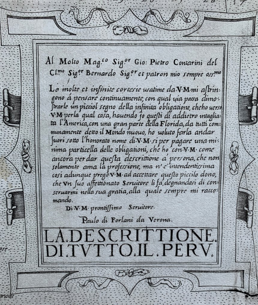
Paolo Forlani's La Descrittione Di Tutto Il Peru is a 1562 copper engraving offering the first detailed interior view of South America and a Lafreri School example with a diamond shape.
AI-assisted summary
Description from the seller
Paolo Forlani, La Descrittione Di Tutto Il Peru.
Venice, 1562
This rare 16th-century map of South America by Paolo Forlani is the first detailed depiction of the continent’s interior and the only map of South America produced by the Lafreri School. It presents the continent in a distinctive diamond shape, showing the Straits of Magellan dividing the mainland from Tierra del Fuego, believed at the time to be part of a vast southern continent. The map extends to include parts of the West Indies, Central America, and a truncated Florida, with rivers, mountains, and place names revealing the limited geographical knowledge of the mid-1500s. A fine title cartouche dedicated to Giovanni Pietro Contarini and a decorative compass rose enrich the design. Influenced by Gastaldi, this engraving exemplifies Forlani’s refined Venetian style and ranks among the earliest and rarest printed maps of South America.
Dimensions: 51 x 36,7 cm (engraving), 53,7 x 39 cm (paper).
Good condition. This map has usually very short white margins, as is here. Left white margin and top white margin therefor added and on top a few small lines redrawn.
Reference: Bella 5, Meurer 190, Tooley 93
Attention for US buyers: Due to recent postal restrictions shipping to the US can only be done by DHL, therefore higher shipping costs apply!
Details
Era
1400-1900
Number of items
1
Country
South America
Geographical specification
West Indies; Central America; Straits of Magellan; Florida
Map maker/ publisher
Paolo Forlani
Map/ Book title
La Descrittione Di Tutto Il Peru
Period
1561-1580
Condition
Good
Technique
Copper engraving
Additional Information
Rare and beautifully engraved map of South America by Paolo Forlani
Map colour
Uncoloured map
Height
53.7 cm
Width
39 cm
Sold by
Disclaimer
The seller was informed by Catawiki about documentation requirements and guarantees the following: - the object was legally obtained, - the seller has the right to sell and/or export the object, as relevant, - the seller will provide the necessary provenance information and arrange required documentation and permits/licenses, as applicable and as per local laws, - the seller will notify the buyer of any delays in obtaining permits/licenses. By bidding, you acknowledge that import documentation may be required depending on your country of residence and that obtaining permits/licenses may cause delays in the delivery of your object.
The seller was informed by Catawiki about documentation requirements and guarantees the following: - the object was legally obtained, - the seller has the right to sell and/or export the object, as relevant, - the seller will provide the necessary provenance information and arrange required documentation and permits/licenses, as applicable and as per local laws, - the seller will notify the buyer of any delays in obtaining permits/licenses. By bidding, you acknowledge that import documentation may be required depending on your country of residence and that obtaining permits/licenses may cause delays in the delivery of your object.
