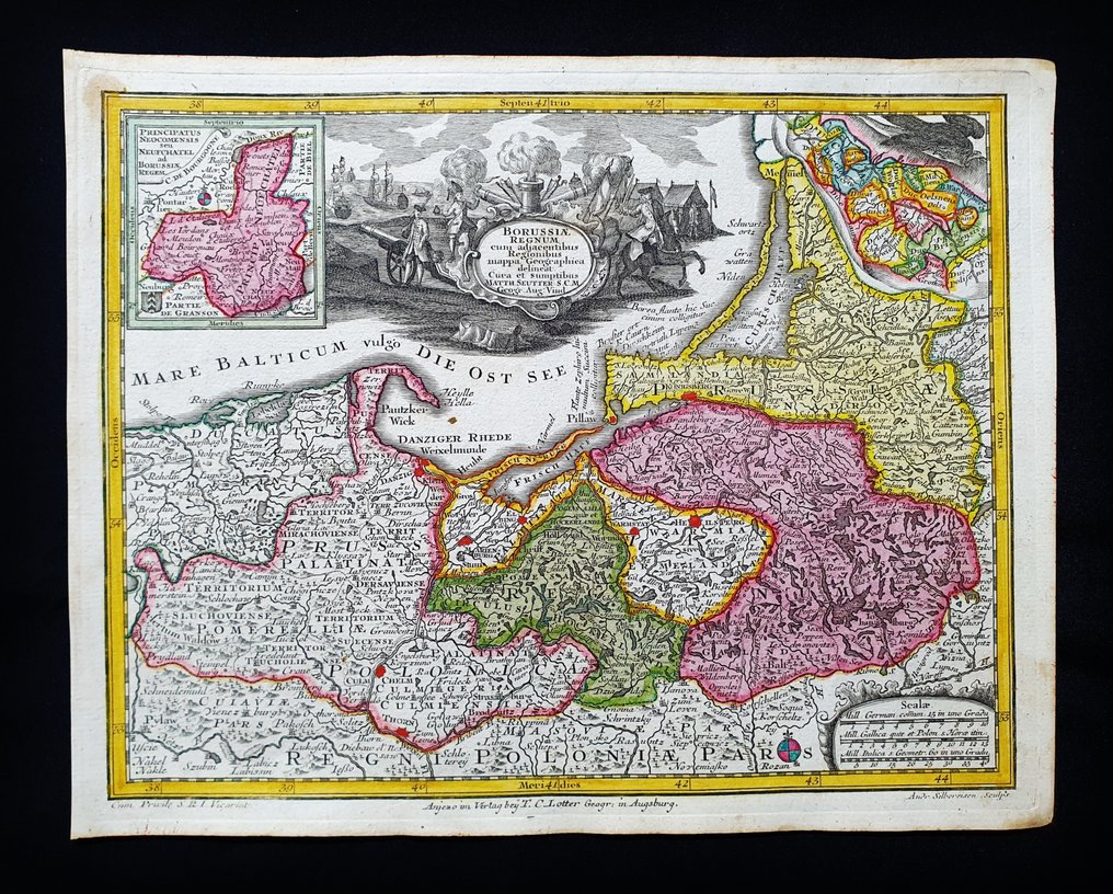
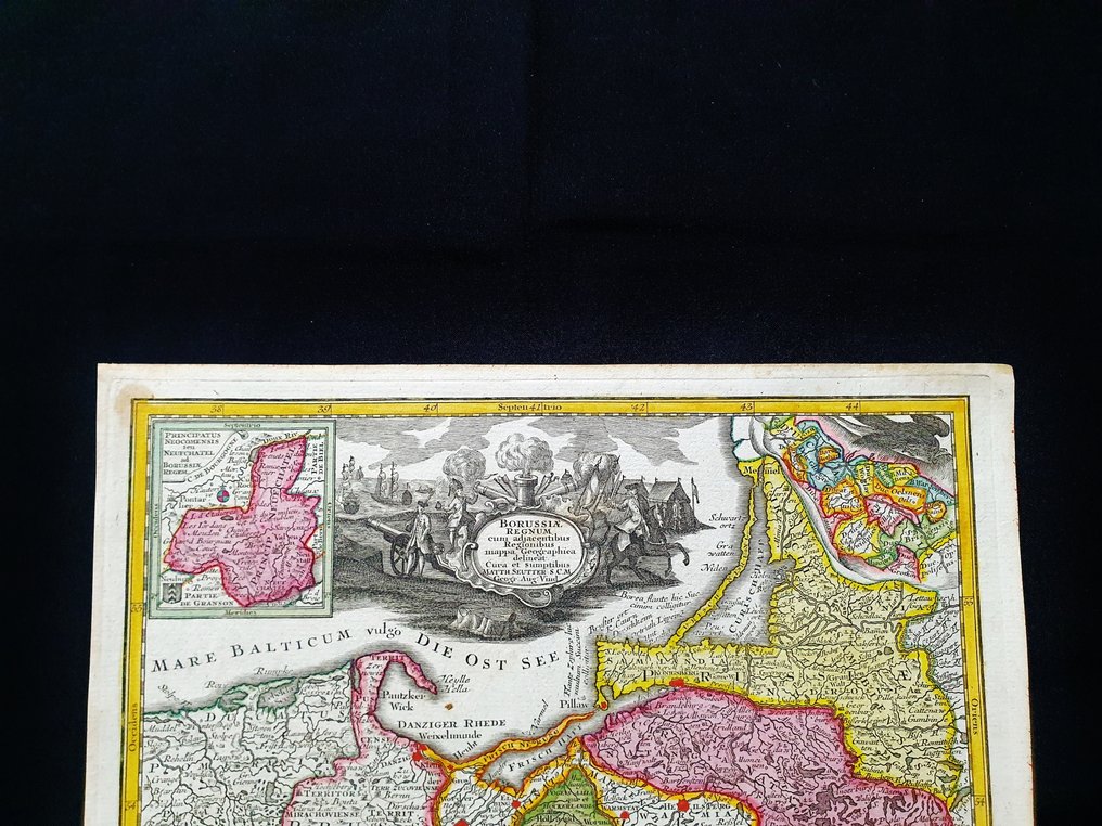
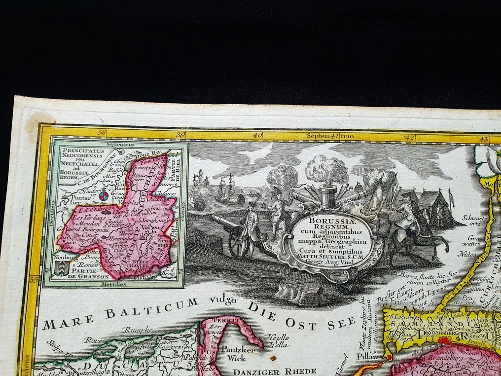
Europe - North-East Europe / Prussia / Poland / Lithuania / Krakow / Vilnius / Baltic Region / Warsaw /; Matthaus Seutter - Borussiae Regnum - 1721-1750

04
days
15
hours
31
minutes
04
seconds
Current bid
€ 50
No reserve price
29 other people are watching this object
plBidder 4344 €50
itBidder 9412 €5
plBidder 9891 €4

Catawiki Buyer Protection

Your payment’s safe with us until you receive your object.View details

Trustpilot 4.4 | 121798 reviews

Rated Excellent on Trustpilot.

This pocket edition map Borussiae Regnum by Matthaus Seutter, circa 1720, is an original copper plate engraving with hand coloured detail and wide margins, offering collectable early Nuissance in North East Europe.

AI-assisted summary

Description from the seller

This rare geographical map is an original copper engraving from around 1720.

This is the very rare pocket edition of Matthäus Seutter's atlas, published in 1720, titled 'ATLAS MINOR - Atlas novus sive Tabulae geographicae totius Orbis faciem, partes, imperia, regna et provincias exhibentes exactissima cura iuxta recentissima observationae Matthaeus Seutter-Grosser Atlas,' which contains all the universal, special, and particular geographical maps of the entire world, including regions, empires, kingdoms, and provinces, created with the utmost precision according to the latest observations. Augsburg, 1720.

Beautiful map published in Germany, with excellent and original watercolor, wide margins, and geographically well detailed at every point.

Conditions: the conditions are truly more than good, excellent, as shown in the photo.

The overall dimensions of the map are: 29 cm x 22 cm.

Seller's Story

I am a private Catawiki seller and I sell collectibles, a wonderful world.
Translated by Google Translate

Details

Era
1400-1900
Number of items
1
Country
Europe
Geographical specification
North-East Europe / Prussia / Poland / Lithuania / Krakow / Vilnius / Baltic Region / Warsaw /
Map maker/ publisher
Matthaus Seutter
Designer/Artist/Maker
Matthaus Seutter
Map/ Book title
Borussiae Regnum
Period
1721-1750
Condition
Excellent
Technique
Copper engraving
Additional Information
Original colored copper plate
Map colour
Contemporary hand colour
Height
29 cm
Width
22 cm
ItalyVerified
8322
Objects sold
100%
Privatetop

Similar objects

For you in

Maps