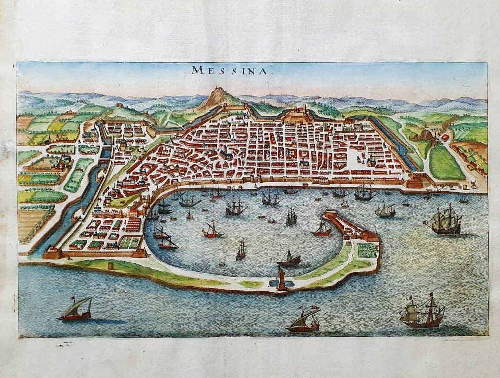
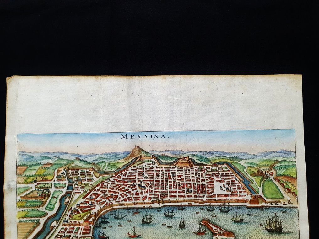
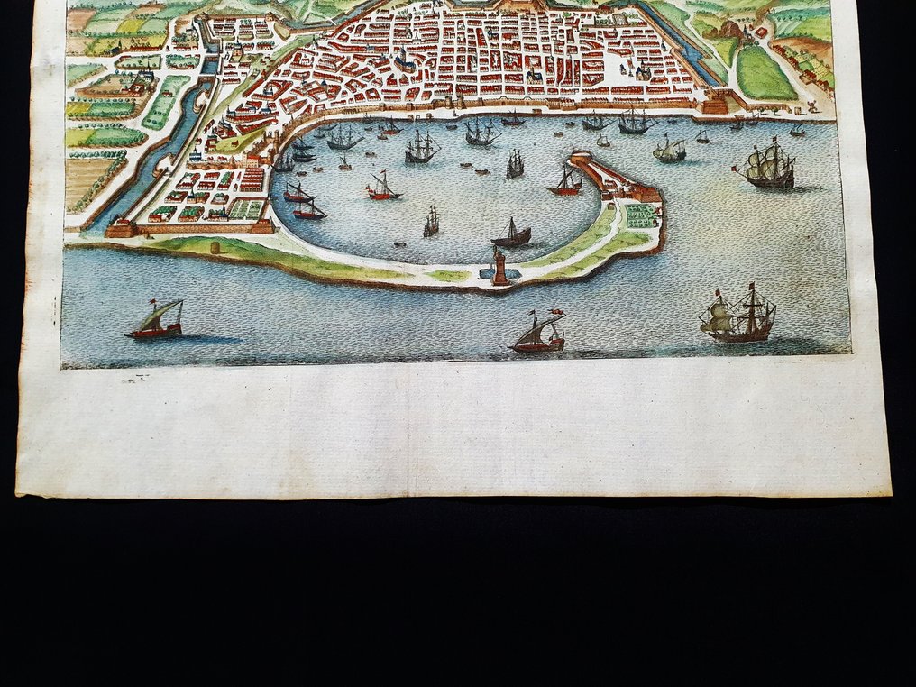
Europe - Italy South / Sicily / Messina; Matthaus Merian - Messina - 1681-1700

00
days
15
hours
26
minutes
54
seconds
Current bid
€ 45
No reserve price
Ilaria Colombo
Expert
Selected by Ilaria Colombo

Specialist in old books, specialising in theological disputes since 1999.

Estimate  € 150 - € 200
30 other people are watching this object
itBidder 6747 €45
itBidder 9584 €40
itBidder 6747 €35

Catawiki Buyer Protection

Your payment’s safe with us until you receive your object.View details

Trustpilot 4.4 | 121798 reviews

Rated Excellent on Trustpilot.

An original 1688 copper plate engraving by Matthaus Merian of Messina in southern Italy, hand colored on a contemporary folio with period maritime cartography.

AI-assisted summary

Description from the seller

This geographical map is an original copper engraving from 1688.

- This is a rare map published by "M. Merian" in his very rare and famous work titled: "Topographia Italiae, das ist warhaffte und curiose Beschreibung von gantz Italien.......", Frankfurt (Main), 1688;

Beautiful map published in Germany by one of the leading, most esteemed, important, and fantastic cartographers of the 17th century, featuring very distinctive contemporary coloring and a rich, fantastic cartouche, classic of the entire 1600s period.

Galleons, sea monsters, and heraldic shields are also beautiful, representing the various nobilities of the depicted territory from that specific historical period.

Conditions: the conditions are more than good, excellent, as shown in the photo, with the usual signs of aging, almost completely invisible.

The total measurements of the map are: 38 cm x 34 cm.

Seller's Story

I am a private Catawiki seller and I sell collectibles, a wonderful world.
Translated by Google Translate

Details

Era
1400-1900
Number of items
1
Country
Europe
Geographical specification
Italy South / Sicily / Messina
Map maker/ publisher
Matthaus Merian
Map/ Book title
Messina
Period
1681-1700
Condition
Excellent
Technique
Copper engraving
Additional Information
Original Folio Copper Plate
Map colour
Contemporary hand colour
Height
38 cm
Width
34 cm
ItalyVerified
8322
Objects sold
100%
Privatetop

Similar objects

For you in

Maps