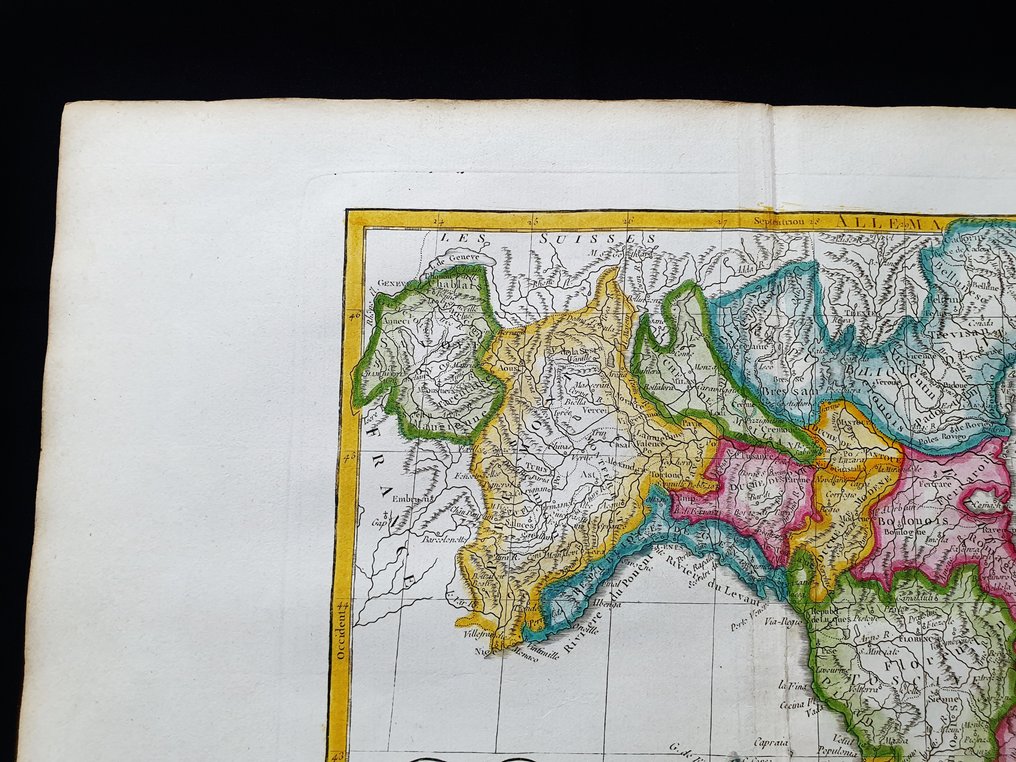
Europe - Northern Italy / Lombardy / Piedmont / Tuscany / Friuli / Veneto; R. de Vaugondy - La Lombardie, le Duchè de Toscane, l'Etat du St. Siege, et l'Isle de Corse - 1781-1800

00
days
16
hours
31
minutes
59
seconds
Current bid
€ 23
No reserve price
Ilaria Colombo
Expert
Selected by Ilaria Colombo

Specialist in old books, specialising in theological disputes since 1999.

Estimate  € 130 - € 200
17 other people are watching this object
itBidder 2398 €23
itBidder 5372 €18
itBidder 5372 €16

Catawiki Buyer Protection

Your payment’s safe with us until you receive your object.View details

Trustpilot 4.4 | 121798 reviews

Rated Excellent on Trustpilot.

Original copper plate map by R. de Vaugondy from the 1790 atlas, hand coloured with detailed north Italian regions for study and display.

AI-assisted summary

Description from the seller

This small folio map is an original copperplate engraving from around 1790.

This is VAUGONDY's edition published around 1790 in his Atlas, which bears the name: "NOUVEL ATLAS PORTATIF Destiné Principalement pour L'instruction de la Jeunesse. Par Robert de Vaugondy Géographe. Revu, corrigé et augmenté par C. F. Delamarche Géographe...... Paris, around 1790"

Map published in PARIS, with excellent coloring, wide margins, and geographically well detailed at every point.

Conditions: the conditions are more than good as shown in the photos, with a very light and almost invisible restoration made in the lower area of the central band, in the lower area

The overall dimensions of the map are: 45 x 33 cm

Seller's Story

I am a private Catawiki seller and I sell collectibles, a wonderful world.
Translated by Google Translate

Details

Era
1400-1900
Number of items
1
Country
Europe
Geographical specification
Northern Italy / Lombardy / Piedmont / Tuscany / Friuli / Veneto
Map maker/ publisher
R. de Vaugondy
Map/ Book title
La Lombardie, le Duchè de Toscane, l'Etat du St. Siege, et l'Isle de Corse
Period
1781-1800
Condition
Excellent
Technique
Copper engraving
Additional Information
Original colored copper plate
Map colour
Later hand colour
Height
45 cm
Width
33 cm
ItalyVerified
8322
Objects sold
100%
Privatetop

Similar objects

For you in

Maps