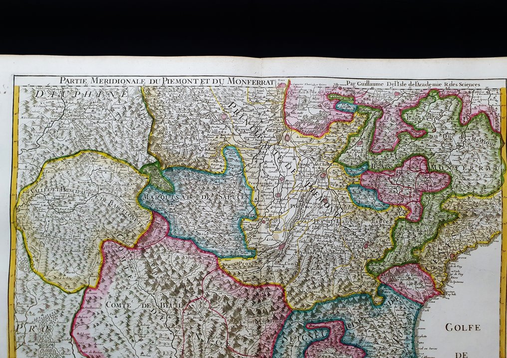
Europe - Northern Italy / Turin / Piedmont / Aosta / Alessandria / Vercelli / Asti / Nice; G. Delisle / Dezauche, 1783 - Carte du Piemont et du Monferrat - 1761-1780

00
days
16
hours
49
minutes
25
seconds
Current bid
€ 24
No reserve price
18 other people are watching this object
itBidder 2328 €24
itBidder 0360 €19
itBidder 4587 €10

Catawiki Buyer Protection

Your payment’s safe with us until you receive your object.View details

Trustpilot 4.4 | 121798 reviews

Rated Excellent on Trustpilot.

Carte du Piemont et du Monferrat, copper plate engraving by G. Delisle & Dezauche, 1783, Europe, Northern Italy including Torino, Piemonte, Aosta, Alessandria, Vercelli, Asti and Nice.

AI-assisted summary

Description from the seller

This IMPERIAL - FOLIO Geographic Map is an original copper engraving from around 1783.

This is the edition by G. DELISLE & DEZAUCHE, published around 1783, in their Atlas, which bears the title: "Atlas nouveau, contenant toutes les parties du Monde, ou sont exactement remarquées les Empires, Monarchies, Royaumes............. in Paris, by GUILLAUME DELISLE & DEZAUCHE, 1783."

Beautiful map published in France, with wide margins, and geographically well detailed at every point.

- Condition: The condition is very very good as shown in the photos, with the presence of a reinforcement applied on the back area, almost totally invisible and which does not affect its beauty and rarity.

The overall dimensions of the map are: 76 cm x 55 cm.

Seller's Story

I am a private Catawiki seller and I sell collectibles, a wonderful world.
Translated by Google Translate

Details

Era
1400-1900
Number of items
1
Country
Europe
Geographical specification
Northern Italy / Turin / Piedmont / Aosta / Alessandria / Vercelli / Asti / Nice
Map maker/ publisher
G. Delisle / Dezauche, 1783
Map/ Book title
Carte du Piemont et du Monferrat
Period
1761-1780
Condition
Excellent
Technique
Copper engraving
Additional Information
Original IMPERIAL-FOLIO Colored Copper Plate...
Map colour
Contemporary hand colour
Height
76 cm
Width
55 cm
ItalyVerified
8322
Objects sold
100%
Privatetop

Similar objects

For you in

Maps