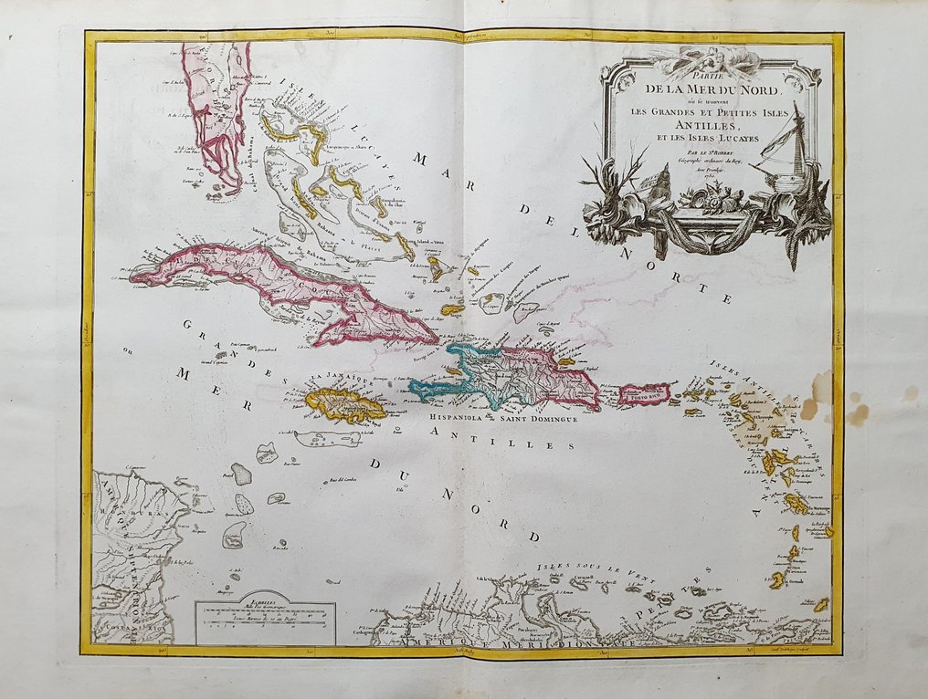
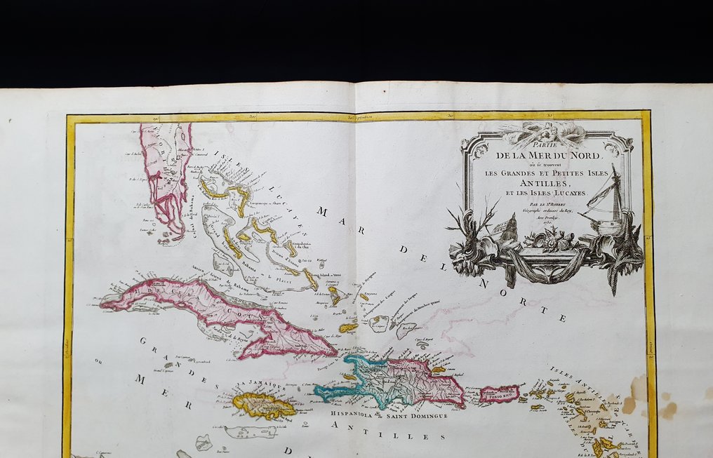
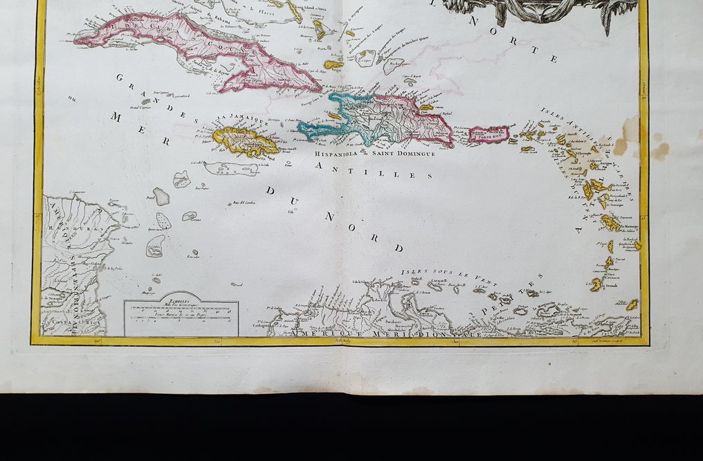
America Centrale - Caribbean / Mexico / Florida / Cuba / Jamaica / West Indies / Antilles; Robert de Vaugondy - Partie de la Mer du Nord: Les Grandes et Petites Isles Antilles et les Isles Lucayes - 1751-1760

04
days
15
hours
53
minutes
00
seconds
Current bid
€ 31
No reserve price
13 other people are watching this object
frBidder 1133 €31
itBidder 6827 €26
itBidder 6827 €1

Catawiki Buyer Protection

Your payment’s safe with us until you receive your object.View details

Trustpilot 4.4 | 121798 reviews

Rated Excellent on Trustpilot.

A large imperial folio copper engraving by Robert de Vaugondy, detailing the Caribbean and surrounding regions with hand coloured modern color, perfect for historical map rooms.

AI-assisted summary

Description from the seller

This enormous geographical map in IMPERIAL-Folio size is an original copper engraving from 1777.

This is the rare first edition of VAUGONDY, published in 1777 in its very rare and fantastic atlas, which bears the name: 'Atlas Universel by M. Robert Geographe, ordinary of the King, and by M. Robert de Vaugondy, his son, Geographe ordinaire of the King and of................ in Paris, 1777'.

Very beautiful and very large map published in France, with contemporaneous coloring, wide margins, and geographically well detailed in every point.

Conditions: the conditions are very good, as shown in the photo, with some harmless small spots that are easily removable.

The overall dimensions of this enormous map are: 82 cm x 56 cm.

Seller's Story

I am a private Catawiki seller and I sell collectibles, a wonderful world.
Translated by Google Translate

Details

Era
1400-1900
Number of items
1
Country
America Centrale
Geographical specification
Caribbean / Mexico / Florida / Cuba / Jamaica / West Indies / Antilles
Map maker/ publisher
Robert de Vaugondy
Map/ Book title
Partie de la Mer du Nord: Les Grandes et Petites Isles Antilles et les Isles Lucayes
Period
1751-1760
Condition
Excellent
Technique
Copper engraving
Additional Information
Original IMPERIAL-FOLIO colored copper plate
Map colour
Contemporary hand colour
Height
82 cm
Width
56 cm
ItalyVerified
8322
Objects sold
100%
Privatetop

Similar objects

For you in

Maps