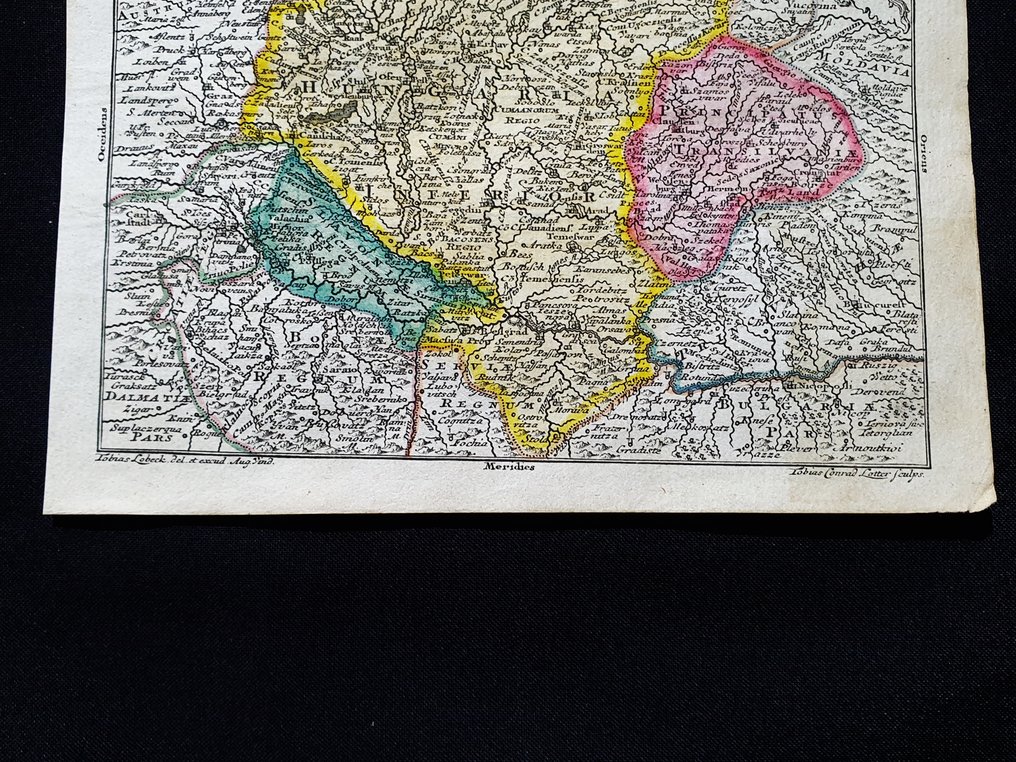
Europe - Hungary / Budapest / East Europe; Tobias Conrad Lotter - Regni Hungariae Tabula Generalis - 1721-1750

04
days
15
hours
49
minutes
36
seconds
Current bid
€ 1
No reserve price
Ilaria Colombo
Expert
Selected by Ilaria Colombo

Specialist in old books, specialising in theological disputes since 1999.

Estimate  € 130 - € 190
8 other people are watching this object
huBidder 2051 €1

Catawiki Buyer Protection

Your payment’s safe with us until you receive your object.View details

Trustpilot 4.4 | 121798 reviews

Rated Excellent on Trustpilot.

This hand colored copper engraving by Tobias Conrad Lotter depicts Regni Hungariae Tabula Generalis from around 1740 with precise toponymic detail.

AI-assisted summary

Description from the seller

This Geographical Map is an engraving, 'rare,' on original copper from 1740.

This is a rare collectible map by Tobias Conrad Lotter, engraved in Germany around 1740, published in his fantastic work titled: "Atlas geographicus portatilis XXIX mappis orbis habitabilis regna exhibens...... Augsburg, 1740."

Rare map published in Germany, an impeccable cartographic representation for the period of creation, with well-defined and uniform watercolor shading, and with highly detailed toponymic features at every point.

Conditions: the conditions are more than good as shown in the photo, with a small defect in the upper/right corner, as shown in the photo.

The overall dimensions of the map are: 14 cm x 12 cm.

Seller's Story

I am a private Catawiki seller and I sell collectibles, a wonderful world.
Translated by Google Translate

Details

Era
1400-1900
Number of items
1
Country
Europe
Geographical specification
Hungary / Budapest / East Europe
Map maker/ publisher
Tobias Conrad Lotter
Map/ Book title
Regni Hungariae Tabula Generalis
Period
1721-1750
Condition
Excellent
Technique
Copper engraving
Additional Information
Original Colored Copper Engraving
Map colour
Contemporary hand colour
Height
14 cm
Width
12 cm
ItalyVerified
8322
Objects sold
100%
Privatetop

Similar objects

For you in

Maps