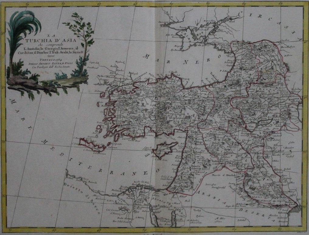
Türkiye - The Asian part of the Ottoman Empire in the second half of the 18th century (Anatolia, Iraq, Syria,; Antonio Zatta - La Turchia d' Asia - 1781-1800

Opens 11:00
Starting bid
€ 1

Add to your favourites to get an alert when the auction starts.

Ilaria Colombo
Expert
Selected by Ilaria Colombo

Specialist in old books, specialising in theological disputes since 1999.

Estimate  € 140 - € 210
Catawiki Buyer Protection

Your payment’s safe with us until you receive your object.View details

Trustpilot 4.4 | 121798 reviews

Rated Excellent on Trustpilot.

Description from the seller

Large map on clean, thick paper; sharp print, border colored in an old-fashioned way. Verso blank. Wide margins. Engraved by G. Zuliani
According to the cartouche, the image includes present-day Anatolia, as well as Georgia, Armenia, Kurdistan, Diarbec (present-day Diyabakir region), Iraq, Syria, etc., or in other words, the Turkish Empire in Asia.
Antonio Zatta was a well-known publisher in Venice, Italy, at the end of the 17th century and the beginning of the 18th century. His most famous work is the 'Atlante novissima', a four-volume atlas with a total of 218 maps, published between 1775 and 1789. According to the cartouche, which appeared in 1784, this map is included in this atlas.
The style of Zatta's cartouches is recognizable and innovative; the allegorical figures disappear and are replaced by images of flora and fauna, often in the form of a surrounding (laurel) wreath.

Details

Era
1400-1900
Number of items
1
Country
Türkiye
Geographical specification
The Asian part of the Ottoman Empire in the second half of the 18th century (Anatolia, Iraq, Syria,
Map maker/ publisher
Antonio Zatta
Map/ Book title
La Turchia d' Asia
Period
1781-1800
Condition
Excellent
Technique
Copper engraving
Additional Information
Beautiful, large, and impressive late 18th-century map of the then Ottoman Empire.
Map colour
Contemporary hand colour
Height
302 mm
Width
402 mm
Sold by
The NetherlandsVerified
143
Objects sold
Private

Similar objects

For you in

Maps