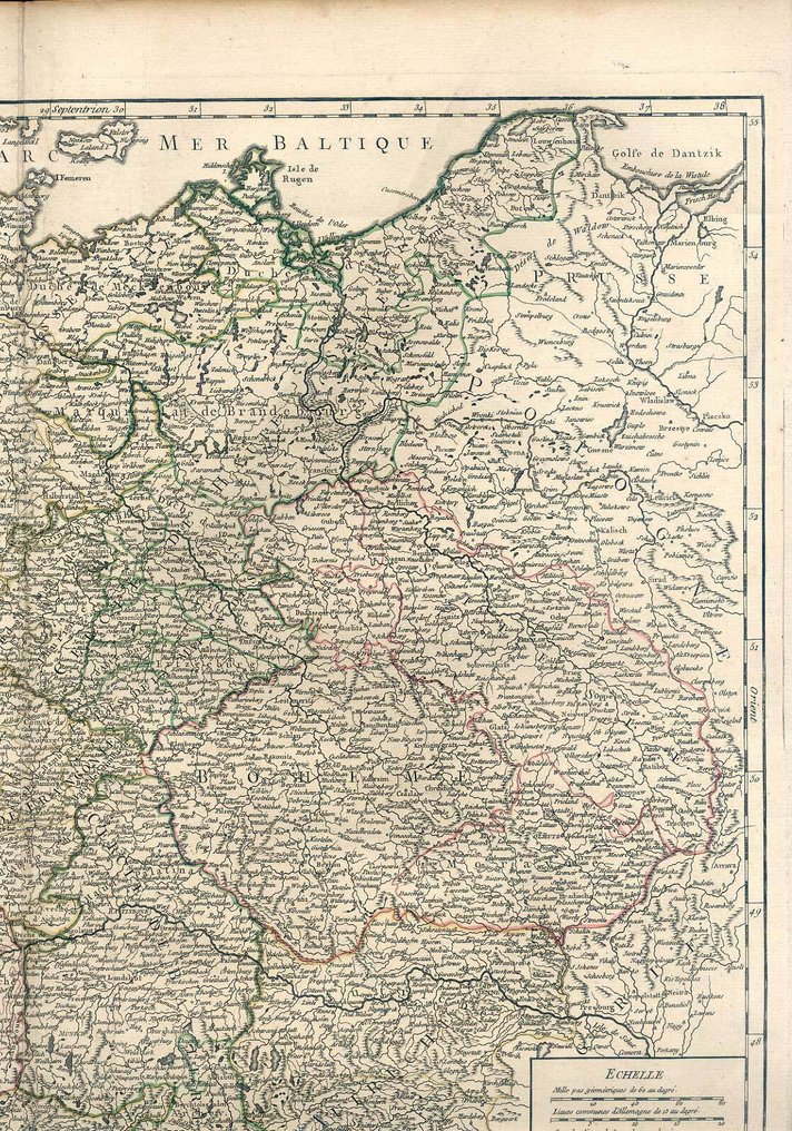
France - Germany, Germany; Robert de Vaugondy - Carte de l'Empire d'Allemagne devise en ses dix cercles dessinee d'apres les Cartes Nationales - 1761-1780

05
days
15
hours
56
minutes
35
seconds
Starting bid
€ 1
No reserve price
Ilaria Colombo
Expert
Selected by Ilaria Colombo

Specialist in old books, specialising in theological disputes since 1999.

Estimate  € 160 - € 200
No bids placed

Catawiki Buyer Protection

Your payment’s safe with us until you receive your object.View details

Trustpilot 4.4 | 121798 reviews

Rated Excellent on Trustpilot.

Map title: Carte de l'Empire d'Allemagne devise en ses dix cercles dessinee d'apres les Cartes Nationales; map maker: Robert de Vaugondy; country: Frankreich; geographical specification: Deutschland, Germany; copper engraving with contemporary hand colour, broad margins, image size about 48 x 55.5 cm, in good condition.

AI-assisted summary

Description from the seller

Map of the German Empire, devised in its ten circles, Copperplate Map drawn after the National Maps based on astronomical observations. By Mr. Robert de Vaugondy, Royal Geographer to the King, of the Royal Academy of Sciences and Belles Lettres of Nancy. With Privilege 1756.

Old-colored copper engraving map by Robert de Vaugondy, 1756.

Image size approx. 48 x 55.5 cm.

Sheet size approximately 55 x 79.5 cm.

Good condition, wide-bordered, the four scans roughly correspond to the actual paperwork.
The scans reveal the actual paper color.

Details

Era
1400-1900
Country
France
Geographical specification
Germany, Germany
Map maker/ publisher
Robert de Vaugondy
Map/ Book title
Carte de l'Empire d'Allemagne devise en ses dix cercles dessinee d'apres les Cartes Nationales
Period
1761-1780
Condition
Good
Technique
Copper engraving
Additional Information
broad-edged specimen
Map colour
Contemporary hand colour
Height
48 cm
Width
55.5 cm
Sold by
GermanyVerified
28
Objects sold
Private

Similar objects

For you in

Maps