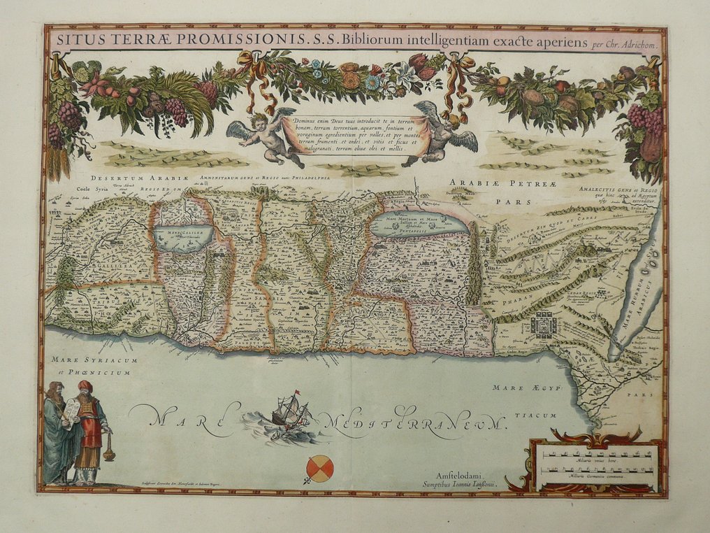
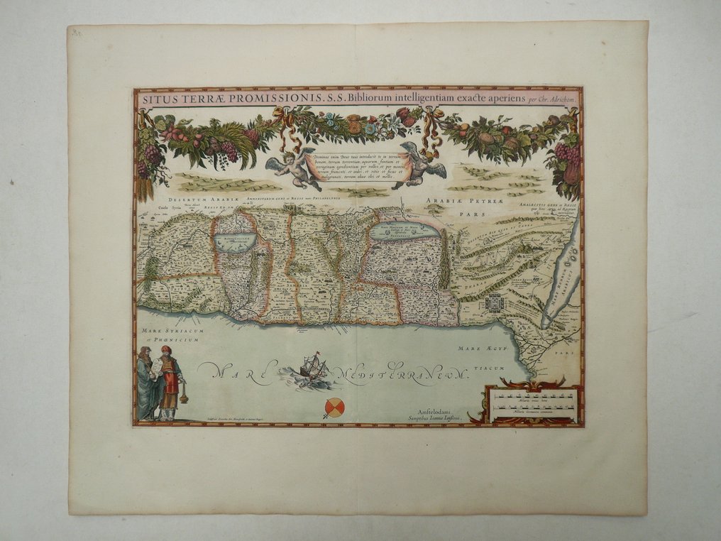
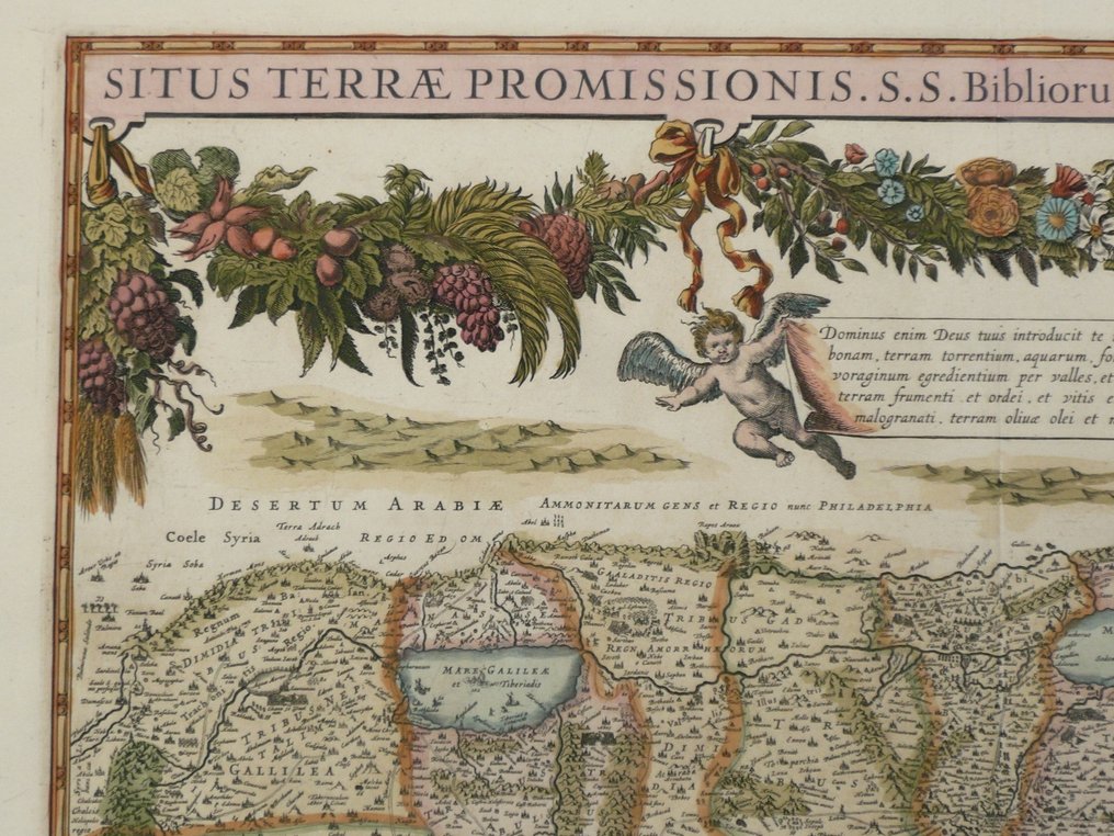
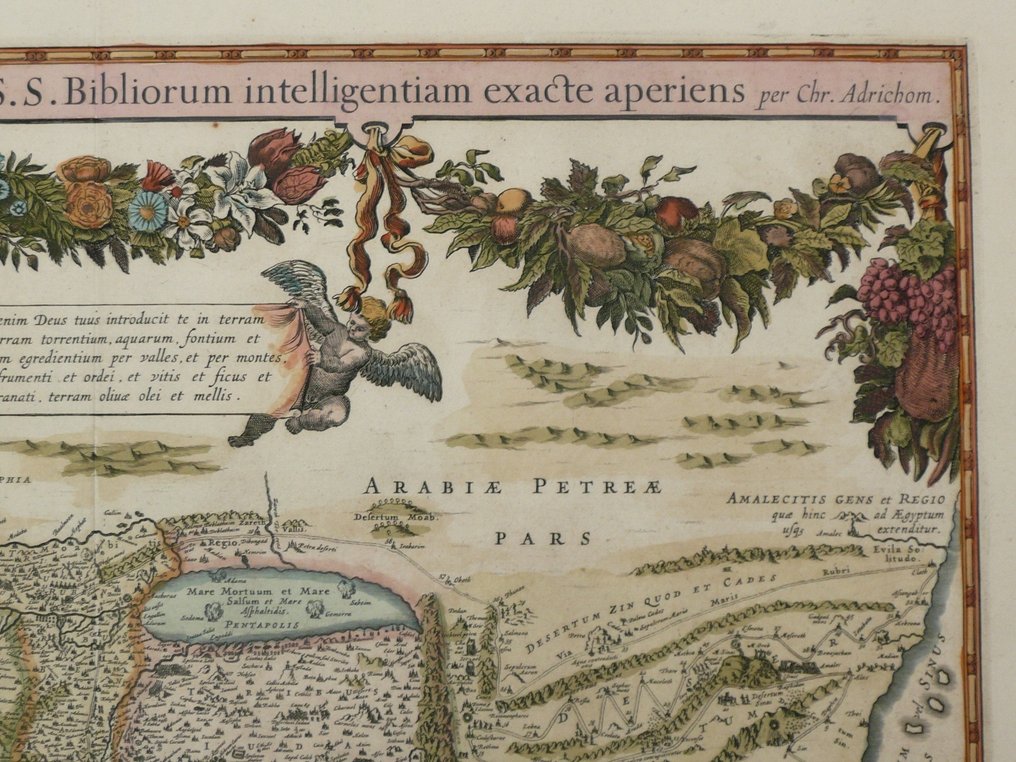
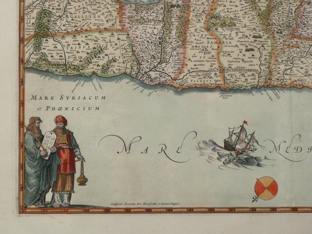
Asia - Israël / Palestine / Holy Land; Johannes Janssonius - Situs Terrae Promissionis. S.S. Bibliorum intelligentiam - 1621-1650

Opens 11:00
Starting bid
€ 1

Add to your favourites to get an alert when the auction starts.

Ilaria Colombo
Expert
Selected by Ilaria Colombo

Specialist in old books, specialising in theological disputes since 1999.

Estimate  € 350 - € 800
Catawiki Buyer Protection

Your payment’s safe with us until you receive your object.View details

Trustpilot 4.4 | 121798 reviews

Rated Excellent on Trustpilot.

Description from the seller

Paper: 53 x 62 cm.
Copperengraving published in; Novus Atlas Absolutissimus, Das ist, Generale Welt-Beschreibung, mit allerley schönen und Neuen Land-Carten gezieret. Amsterdam ca. 1650. Fold as published.

Insured shipping

Paper: 53 x 62 cm.
Copperengraving published in; Novus Atlas Absolutissimus, Das ist, Generale Welt-Beschreibung, mit allerley schönen und Neuen Land-Carten gezieret. Amsterdam ca. 1650. Fold as published.

Insured shipping

Details

Era
1400-1900
Country
Asia
Geographical specification
Israël / Palestine / Holy Land
Map maker/ publisher
Johannes Janssonius
Map/ Book title
Situs Terrae Promissionis. S.S. Bibliorum intelligentiam
Period
1621-1650
Condition
Excellent
Technique
Copper engraving
Additional Information
Rare 17th century map of the Holy Land
Map colour
Contemporary hand colour
Height
53 cm
Width
62 cm
Sold by
The NetherlandsVerified
24828
Objects sold
100%
protop

Similar objects

For you in

Maps