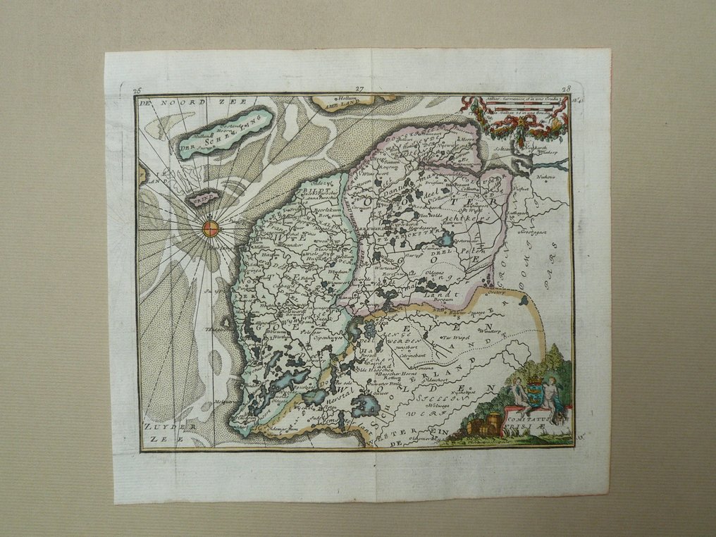
Netherlands - Friesland, Terschelling, Wadden; J. Harrewijn / J. Peeters - Comitatus Frisiae - 1681-1700

04
days
16
hours
05
minutes
19
seconds
Current bid
€ 1
No reserve price
Ilaria Colombo
Expert
Selected by Ilaria Colombo

Specialist in old books, specialising in theological disputes since 1999.

Estimate  € 150 - € 220
6 other people are watching this object
nlBidder 7117 €1

Catawiki Buyer Protection

Your payment’s safe with us until you receive your object.View details

Trustpilot 4.4 | 121798 reviews

Rated Excellent on Trustpilot.

Comitatus Frisiae, a copper-engraved map by J. Harrewijn / J. Peeters, Netherlands, depicting Friesland, Terschelling and the Wadden; 17th century; size 15 × 18.5 cm; hand coloured in the period; excellent condition.

AI-assisted summary

Description from the seller

Dimensions: 15 x 18.5 cm.
Copper engraving appeared in 'l'Atlas en abrégé, or new description of the world, drawn from the best authors of this century, by Jacques Peeters. Published in Antwerp, 1692.
Fold as issued.

Insured shipment

Dimensions: 15 x 18.5 cm.
Copper engraving appeared in 'l'Atlas en abrégé, or new description of the world, drawn from the best authors of this century, by Jacques Peeters. Published in Antwerp, 1692.
Fold as issued.

Insured shipment

Details

Era
1400-1900
Country
Netherlands
Geographical specification
Friesland, Terschelling, Wadden
Map maker/ publisher
J. Harrewijn / J. Peeters
Map/ Book title
Comitatus Frisiae
Period
1681-1700
Condition
Excellent
Technique
Copper engraving
Additional Information
Rare 17th-century card of Utrecht.
Map colour
Contemporary hand colour
Height
15 cm
Width
18.5 cm
Sold by
The NetherlandsVerified
24828
Objects sold
100%
protop

Similar objects

For you in

Maps