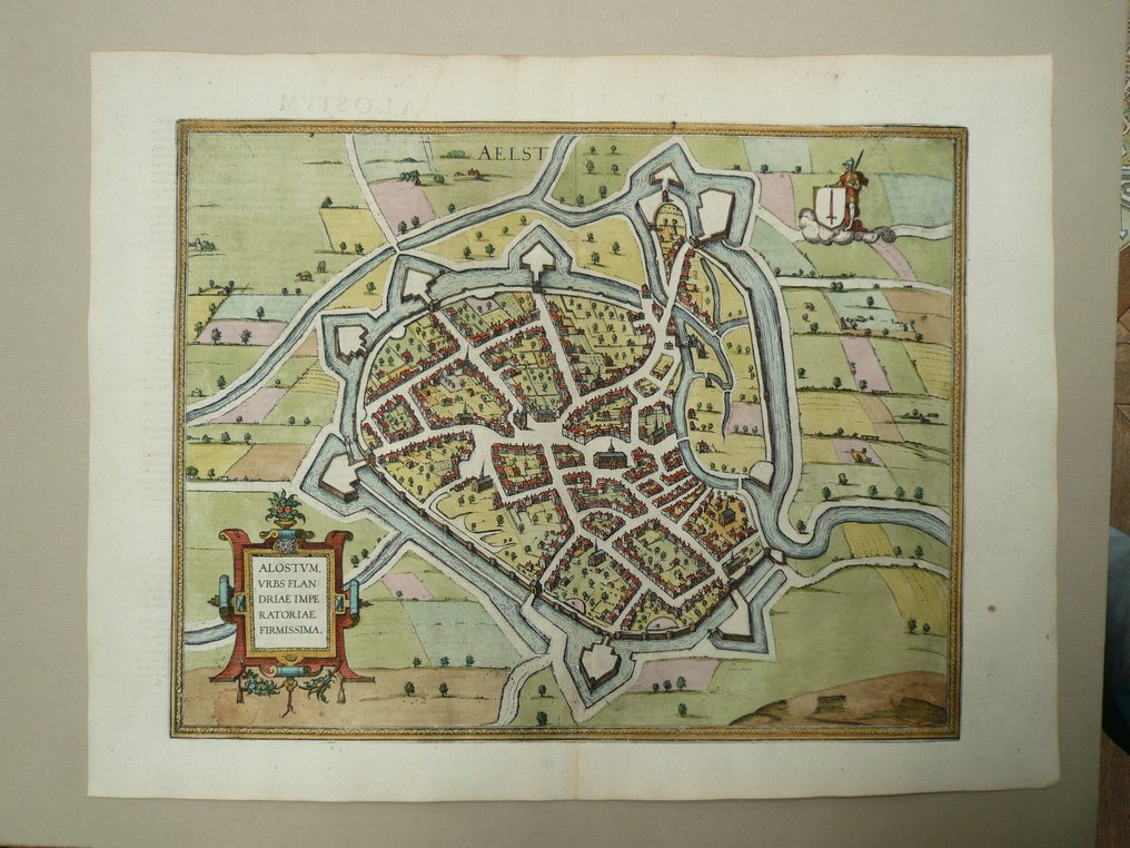
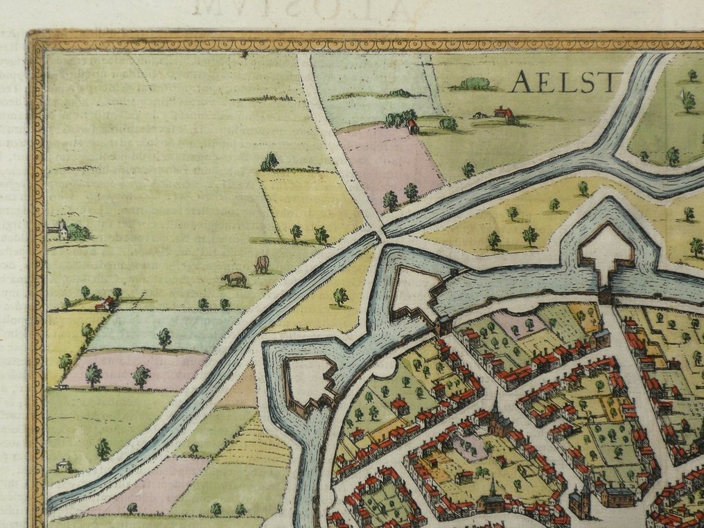
Europe - Belgium / Aalst; G. Braun / F. Hogenberg - Aelst / Alostum urbs Flandriae Imperiatoriae - 1581-1600

04
days
14
hours
20
minutes
16
seconds
Current bid
€ 35
No reserve price
Ilaria Colombo
Expert
Selected by Ilaria Colombo

Specialist in old books, specialising in theological disputes since 1999.

Estimate  € 150 - € 180
9 other people are watching this object
beBidder 6190 €35
beBidder 0773 €30
beBidder 9249 €25

Catawiki Buyer Protection

Your payment’s safe with us until you receive your object.View details

Trustpilot 4.4 | 121798 reviews

Rated Excellent on Trustpilot.

Aelst / Alostum urbs Flandriae Imperiatoriae, a large 16th‑century copper‑engraved city plan by G. Braun / F. Hogenberg, published in Civitates Orbis Terrarum, Cologne ca. 1580, Belgium / Aalst; size 33 x 42.5 cm with contemporary hand colour.

AI-assisted summary

Description from the seller

33 x 42,5 cm.
Copperengraving published in "Civitates Orbis Terrarum", Cologne, ca. 1580.
Centrefold as published.

Insured shipping.

33 x 42,5 cm.
Copperengraving published in "Civitates Orbis Terrarum", Cologne, ca. 1580.
Centrefold as published.

Insured shipping.

Details

Era
1400-1900
Country
Europe
Geographical specification
Belgium / Aalst
Map maker/ publisher
G. Braun / F. Hogenberg
Map/ Book title
Aelst / Alostum urbs Flandriae Imperiatoriae
Period
1581-1600
Condition
Excellent
Technique
Copper engraving
Additional Information
Large 16th century cityplan.
Map colour
Contemporary hand colour
Height
33 cm
Width
42.5 cm
Sold by
The NetherlandsVerified
24828
Objects sold
100%
protop

Similar objects

For you in

Maps