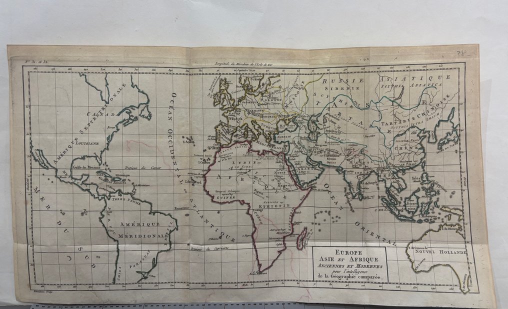
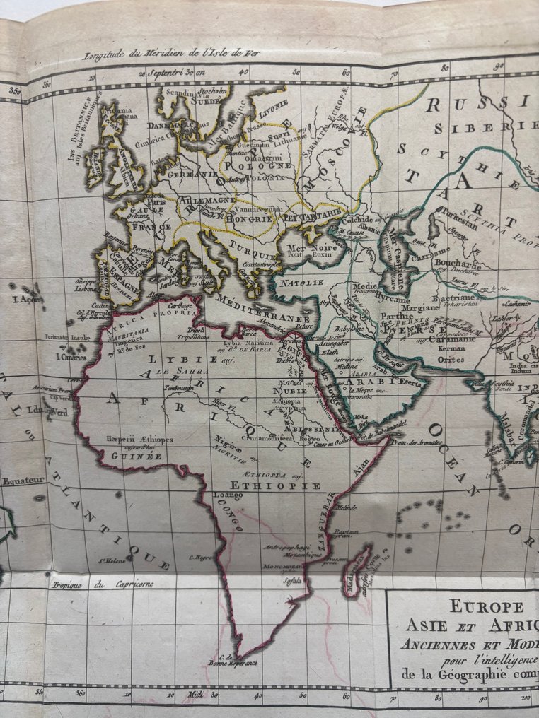
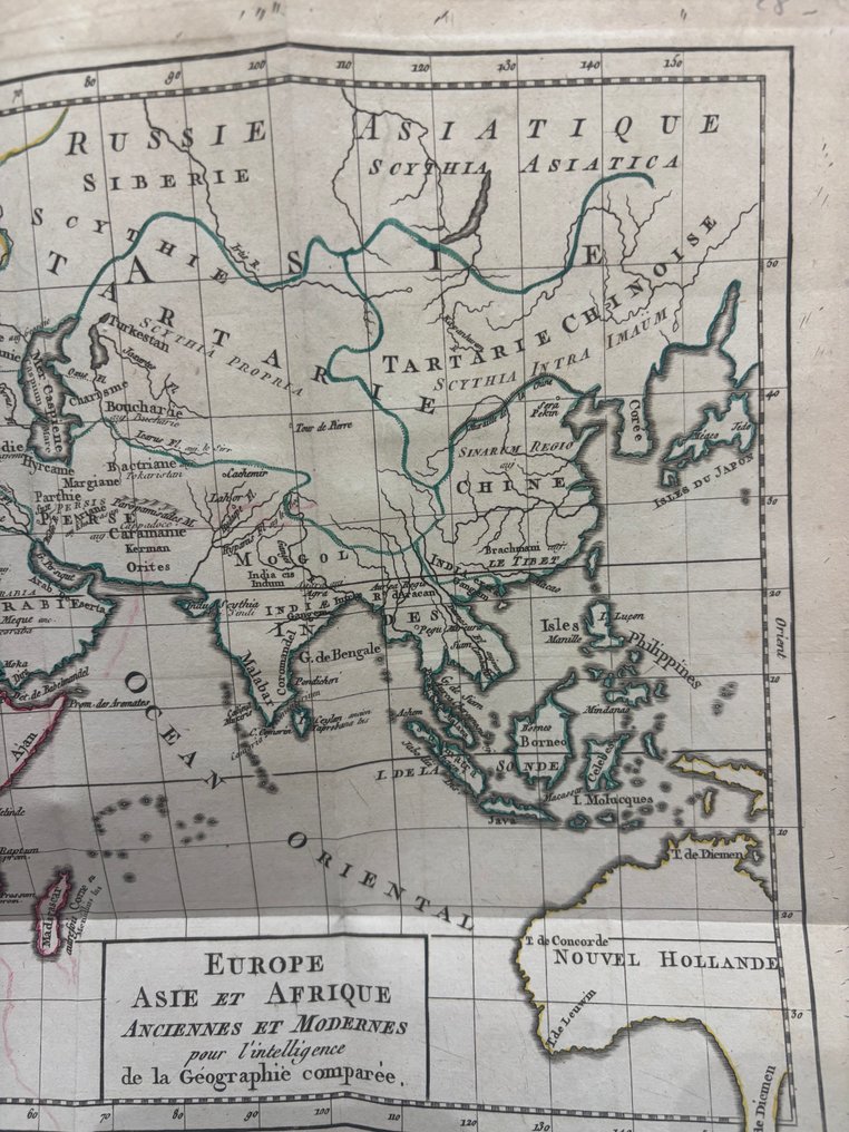
France - World; Eustache Hyacinthe Langlois - Europe, Asie et Afrique Anciennes et Modernes pour l’intelligence de la Géographie comparée - 1781-1800

Opens 11:00
Starting bid
€ 1

Add to your favourites to get an alert when the auction starts.

Ilaria Colombo
Expert
Selected by Ilaria Colombo

Specialist in old books, specialising in theological disputes since 1999.

Estimate  € 140 - € 210
Catawiki Buyer Protection

Your payment’s safe with us until you receive your object.View details

Trustpilot 4.4 | 121798 reviews

Rated Excellent on Trustpilot.

Description from the seller

Foldable geographic map engraved on copper and hand-colored, in French, designed for teaching comparative geography. The map depicts Europe, Asia, Africa, and the American continent according to the geographical knowledge of the time, including historical names such as Louisiana, Tartary, Scythia Asiatica, and Nouvelle Hollande (Australia). Political divisions are highlighted with watercolor outlines, while the grid of meridians and parallels reflects an Enlightenment scientific approach. The large world map also shows outdated toponyms, imprecise borders, and regions still partially unexplored, offering a significant testimony to the evolution of modern cartography.

Foldable geographic map engraved on copper and hand-colored, in French, designed for teaching comparative geography. The map depicts Europe, Asia, Africa, and the American continent according to the geographical knowledge of the time, including historical names such as Louisiana, Tartary, Scythia Asiatica, and Nouvelle Hollande (Australia). Political divisions are highlighted with watercolor outlines, while the grid of meridians and parallels reflects an Enlightenment scientific approach. The large world map also shows outdated toponyms, imprecise borders, and regions still partially unexplored, offering a significant testimony to the evolution of modern cartography.

Details

Era
1400-1900
Manufacturer/ Brand
Eustache Hyacinthe Langlois
Country
France
Geographical specification
World
Map maker/ publisher
Eustache Hyacinthe Langlois
Map/ Book title
Europe, Asie et Afrique Anciennes et Modernes pour l’intelligence de la Géographie comparée
Period
1781-1800
Condition
Good
Technique
Etching
Additional Information
Universal Atlas, for Guthrie's geography.
Map colour
Later hand colour
Height
26.5 cm
Width
48.5 cm
Sold by
ItalyVerified
475
Objects sold
100%
Private

Similar objects

For you in

Maps