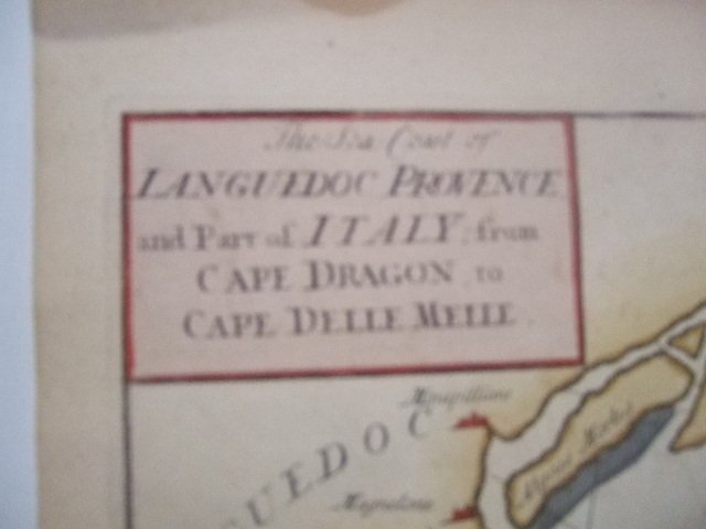
France - Languedoc - Provence; John Seller, Mount & Page, - The sea coast of Languedoc Provence and Part of Italy - 1701-1720


Opens 11:00
Starting bid
€ 1
Add to your favourites to get an alert when the auction starts.

Expert
Selected by Ilaria Colombo
Specialist in old books, specialising in theological disputes since 1999.
Estimate € 150 - € 200
Catawiki Buyer Protection
Your payment’s safe with us until you receive your object.View details
Trustpilot 4.4 | 121798 reviews
Rated Excellent on Trustpilot.
Description from the seller
SORRY ! no shipping to the US right now !!
Early 18th century, large & rare nautical map of the French Mediterranean Coast, from the 1st volume of the English Pilot, by Mount & Page , London
With inset map of Toulon Harbour.
beautiful colored ! very decorative
in excellent condition, light natural browning by age
shipping by registered mail only
[the Post doesn't accept any mail to the USA at this moment]
The series of English Pilot books was started in 1671 by John Seller, whose charts derived from the Dutch pilot books of Pieter Goos. "Seller's English Pilot initiated the independent production of pilot books in England which ultimately overcame Dutch predominance" (Koeman, IV, p. xiii).
Mount & Page
was a firm of religious and maritime publishers that flourished in the eighteenth century. The name became well-known worldwide as an imprint of nautical charts.
The firm was founded in 1701 by Richard Mount (1654–1722) and Thomas Page (active 1700-1733).[1] Mount had previously been in partnership with his father-in-law William Fisher (1631–1692) and inherited the business on the latter's death. As Mount & Page the firm flourished throughout the 18th century and made the fortunes of both families, helped by government contracts. Successive generations of Mounts and Pages worked in the business, and the families intermarried. One of its staple titles was Navigatio Britannica by John Barrow, published in 1750 and still being advertised in 1787.
By the 1760s, Richard Mount's grandson John Mount (1725–1786) was able to retire to Berkshire where he built Wasing Place. John's son William (1753–1815) was the last to work in the business, and later generations went into politics. Direct descendants include David Cameron, MP.
Details
Era
1400-1900
Number of items
1
Country
France
Geographical specification
Languedoc - Provence
Map maker/ publisher
John Seller, Mount & Page,
Map/ Book title
The sea coast of Languedoc Provence and Part of Italy
Period
1701-1720
Condition
Excellent
Technique
Copper engraving
Additional Information
Early 18th century, large & rare nautical map of the French Mediterranean Coast, beautiful colored
Map colour
Later hand colour
Height
405 mm
Width
530 mm
Sold by
